Join Esri’s utilities and telecom team for the third webinar in our Business Continuity series. Gaining Insight from Analytics demonstrates how users can integrate data from the field with business system data. This reveals patterns and trends. It airs on Tuesday, April 28th at 9:00A Pacific. To register, click here.
COVID-19 came upon us quickly. For that reason, utilities and telecoms need to rapidly deploy solutions to meet their needs. Also, they can’t afford to spend months or even weeks to develop and implement solutions. Their employees need solutions they can deploy out of the box with minimal configuration. They can implement Esri’s powerful analytic tools in hours. And staff can share results of the analytics on devices like tablets and phones they use every day.
The team will show how to bring data into the ArcGIS platform. Then use analysis to increase understanding. This results in data-driven decisions. Finally, they will show how analytics turns data into information, providing insight that you didn’t have before.
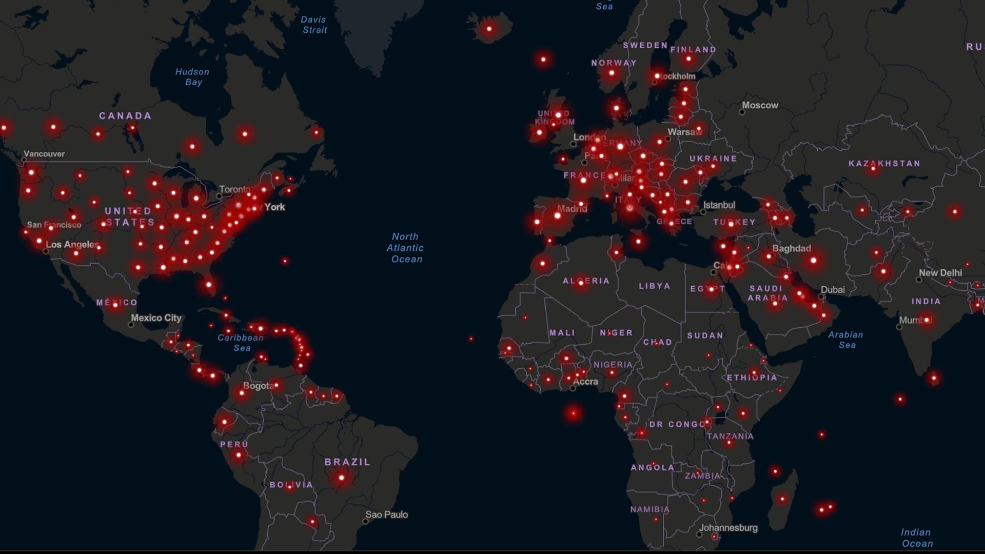
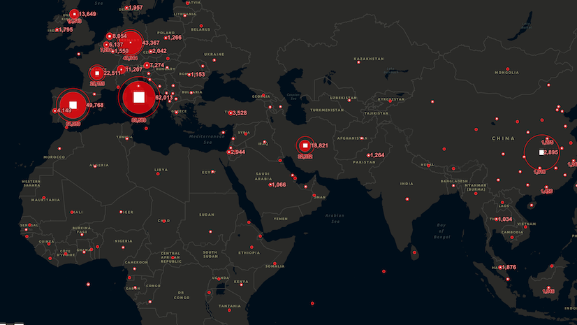
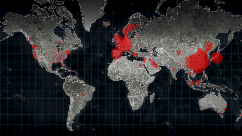
Governments, health care agencies and first responders collect many datasets on COVID-19. These include testing facilities, suppliers and open businesses. This data is available in ArcGIS. It can provide insight to business continuity. And the impact on utility operations. From customer care to logistics to short- and long-term planning.
This webinar covers these business intelligence and analytic applications to maintain business continuity:
CHIME Model
The Predictive Health Care Team at Penn Medicine created a tool called CHIME. CHIME stands for COVID-19 Hospital Impact Model of Epidemics. They designed it to help hospitals plan and prepare for surges due to the pandemic. Esri incorporated CHIME into ArcGIS Pro. The webcast will feature a demo of CHIME. It will show how users can leverage additional COVID-19 related datasets (like available hospital beds from Definitive Healthcare and Social Distancing scores from SafeGraph) for better input data to the model. This provides value to utilities and telecoms particularly in their response to their customers: the health care industry.
Demographic Enrichment and Infographics
ArcGIS includes amazing tools to enrich and visualize demographic data. Its infographics identify populations vulnerable to COVID-19. They also show related economic impacts. The team will use Business Analyst to show how the crisis impacts a utility or telecom’s service territory and customers.
Operational Awareness and Insights
The webcast will feature a live operational view of a utility to predict future conditions. The team will demonstrate Operations Dashboard for ArcGIS and ArcGIS Insights. They will reveal how to use them to make better decisions on project planning. The team will demonstrate how these tools improve business continuity while social distancing. They will illustrate how tracking proximity and disease spread with location adds to better decision making.
Shift in Demand
Social distancing measures impact energy, water, and broadband consumption patterns. ArcGIS can develop analytical results to determine how best to respond to potentially unprecedented consumption patterns in their service area.
Again, please join us for this third in a series of three short webinars developed to support your COVID-19 response. Learn how Esri solutions can be deployed now to best weather this pandemic. And provide the best possible service to customers, shareholders, and employees.
Gaining Insight from Analytics
Tuesday, April 28, 2020
9:00am Pacific


Article Discussion: