Bill Meehan
Connect:

Author of four books: GIS for Enhanced Electric Utility Performance, Modeling Electric Distribution with GIS, Empowering Electric and Gas Utilities with GIS and Power System Analysis by Digital Computer, he is a sought-after speaker and thought leader. His blogs have been widely read. He has lectured extensively and taught courses at Northeastern University and the University of Massachusetts. Bill holds a B.S. in Electrical Engineering from Northeastern University and an M.S. in Electric Power Engineering from Rensselaer Polytechnic Institute. Prior to joining Esri, Bill was the vice president of electric operations for a major electric and gas utility. Bill is a registered engineer in the Commonwealth of Massachusetts. He currently is the Director of Electric Utility Solutions at Esri, the world's largest GIS company.

Posts by this author
ArcGIS Utility Network: Out-of-the-Box

Learn how the ArcGIS Utility Network is ready to use without spending a significant amount of time configuring or customizing.

Continue Reading

Software Customization for Utilities is so 90’s

Learn how utility companies can use ArcGIS Enterprise to replace customized solutions with configurable, off-the-shelf applications.

Continue Reading

Baby Steps to Quantum Leap

This blog follows the journey of GIS at utilities from paper maps to a full-fledged enterprise system using ArcGIS.

Continue Reading

Esri Infrastructure Management & GIS Conference Is Coming Virtually in October

Join us for the Esri Infrastructure Management & GIS Conference (Esri IMGIS). It will be a place to learn, share, and connect with peers.

Continue Reading

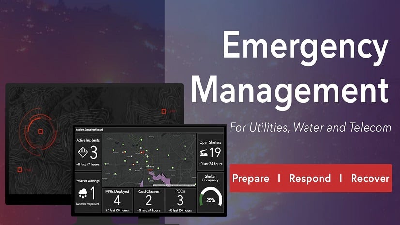
Utility and Telecom Emergency Management

During May, Esri presented a three-part webinar series on Emergency Management. It explored the three stages of emergency management.

Continue Reading

ArcGIS Utility Network – Managing the Modern Utility and Telecom

Utilities and telecoms are transforming rapidly. ArcGIS Utility Network provides the foundation for that transformation.

Continue Reading

GIS at the Heart of Utility and Telecom Emergency Management

Location matters for emergency management. ArcGIS provides the tools for better preparedness, response, and recovery.

Continue Reading

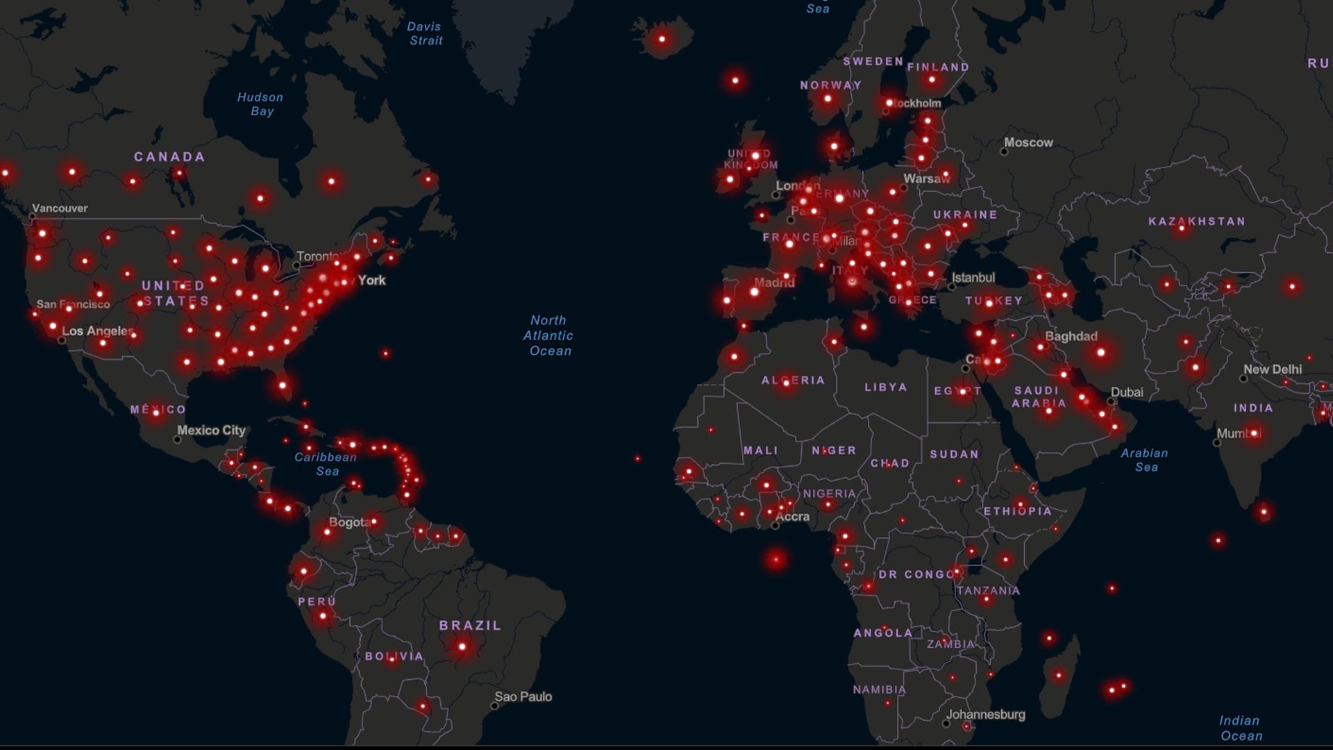
GIS Analytics Benefit Utilities and Telecoms During COVID-19

Join Esri's utilities and telecom team for the third webinar in our Business Continuity series: Gaining Insights from Analytics

Continue Reading

GIS Field Technology Benefits Utilities and Telecoms During COVID-19

Esri's utilities and telecom team is hosting a webinar series focused on supporting COVID-19 response.

Continue Reading