Version 1.3 of the ArcGIS Maps SDK for Unreal Engine contains several enhancements including the ability to modify terrain and integrated mesh layers, filter 3D object and building scene layers, plus improvements to the developer experience. This release continues our dual-purpose mission to bring accurate real-world geospatial data to Unreal Engine and to integrate GIS capabilities seamlessly with your game engine app development.
Mesh modifications
The foundation of your 3D maps in Unreal Engine will typically involve one or more elevation sources for the terrain and an integrated mesh scene layer that contains a continuous textured mesh representing real-world features, such as buildings and trees, and surface elevation information. Elevation sources and integrated mesh scene layers are typically generated by processing large sets of image data to create realistic 3D reconstructions of the world. In some scenarios you may want to modify or cutout an area of the terrain or integrated mesh and replace with other GIS content or actors, without re-creating or editing the underlying data.
With the Unreal Engine Maps SDK you can now make on-the-fly modifications to your terrain and integrated mesh scene layers. When you add modifications, you are not changing the elevation surface or integrated mesh layer directly; rather, you’re modifying a representation of the data for an area of interest defined by a polygon. Mesh colliders will be updated ensuring that raycast operations honor your modifications. Clip modifications will remove content within the specified area, for example to expose underground utility lines at a construction site, and mask modifications retain only data within the specified area and remove everything outside, for example to only show a single city within a region.
With this release, you can define and apply mesh modifications using the C++ API. Mesh modifications are not currently supported in the Modes Panel UI or components. Also note in this release, mesh modifications are supported only on desktop platforms (Windows and macOS) while support on mobile platforms (Android and iOS) is on the roadmap for a future release. See the Mesh modification guide topic to find out more about modifying areas of integrated mesh scene layers and the elevation surface.

Spatial Filtering
In some scenarios you may want to represent real-world features, such as buildings, as true 3D objects that are explicitly modeled in three dimensions or perhaps you have 3D building information model (BIM) data representing both the exterior shell and all the interior components of buildings. Existing support in the Unreal Engine Maps SDK for both 3D object scene layers and building scene layers enables you to visualize and interact with this content. Complementing the new support for mesh modifications is the new ability to filter 3D scene layers by polygon areas enabling you to remove parts of 3D object scene layers and building scene layers after they are added to your map. Just as with mesh modifications, when you apply spatial filters, or cutouts, you are not changing the underlying data itself, only how it’s displayed and how it participates with mesh collisions such as raycasting. You can apply disjoint modifications that hide content from your 3D scene layers within the specified area, for example when you want to show another scene layer or game object representing a new building development, or you can apply a contains modification to include only content within a specified area.
In this release, you can define and apply spatial filters using the C++ API. Spatial filters are not currently supported in the Modes Panel UI or components. Also note in this release, spatial filtering is supported only on desktop platforms (Windows and macOS) while support on mobile platforms (Android and iOS) is on the roadmap for a future release. See the Spatial filtering guide topic to find out more about applying filters to 3D object and building scene layers.

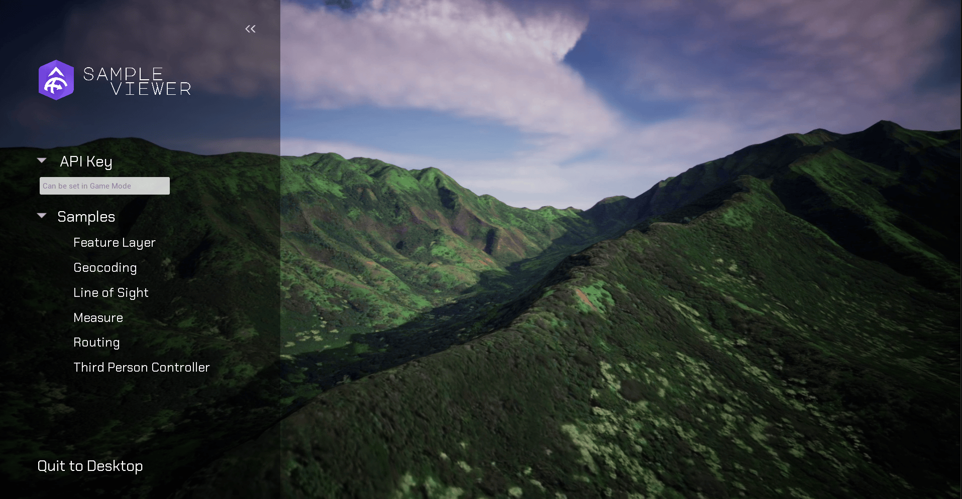
Samples viewer
In response to your feedback, the samples viewer available from the GitHub repo has received a makeover and now has a beautiful, streamlined user interface, with many of the samples updated to follow the new style.
Other enhancements
The samples included within the downloadable SDK plugin have also received a makeover and have been reorganized and updated as follows:
- When importing the samples, they will be available as ‘Sample Content’ rather than ‘All Samples’.
- Sample user interfaces updated.
Download and get started
To get the latest version, go to the ArcGIS Developers site, sign in, and download ArcGIS Maps SDK for Unreal Engine. See the Release Notes for more details about enhancements, deprecations, resolved issues, and known issues in this release. If you’re new to developing with our Unreal Engine Maps SDK, simply sign up for a free ArcGIS Developer account then head over to the Get Started page in the Guide doc.


Article Discussion: