
Community
Esri San Antonio Regional Office

Our GIS community
The Esri San Antonio regional office community is made up of GIS users, developers, data scientists, and community stakeholders, all working toward making where they live, work, and play a better place.
Previous
Next
Frisco, Texas finds success with a public safety digital twin
The City of Frisco, Texas, has developed an innovative and collaborative emergency response platform called SAFER that delivers real-time situational awareness of assets and staff across departments.

Articles
-
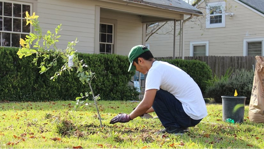
Austin tackles social inequities with map of trees
Esri Blog
Trees provide many valuable services to Austin residents, and now the city is working to spread the benefits widely and equitably. -
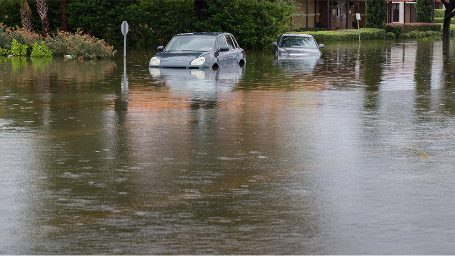
ArcGIS Pro transforms flood management in Texas
ArcNews
GIS gives the Harris County Flood Control District a powerful, unified platform to create high-quality maps and processes to boost collaboration. -

Forensic research with remote sensing and 3D maps
ArcNews
Remote sensing and 3D GIS mapping help archaeologists identify Tulsa massacre victims by locating unmarked graves and restoring lost names. -

How GIS transformed a gas producer’s reporting
ArcWatch
GIS helped PureWest Energy improve sustainability reporting by integrating spatial data for clearer insights and transparency. -

GIS enhances Mississippi beach water monitoring
Case study
GIS helps Mississippi monitor beach water quality in near real time, enabling faster advisories and better public health protection. -

How to Create the Path to Geospatial Excellence
ArcWatch
Esri introduces the Path to Geospatial Excellence, a five pillar framework that helps organizations align GIS with business goals and drive value.
Previous
Next
Explore our resources
Previous
Next
Contact us
Talk to someone at the San Antonio office
1-210-499-1044
9:00 a.m.–5:00 p.m. (CT), Monday through Friday