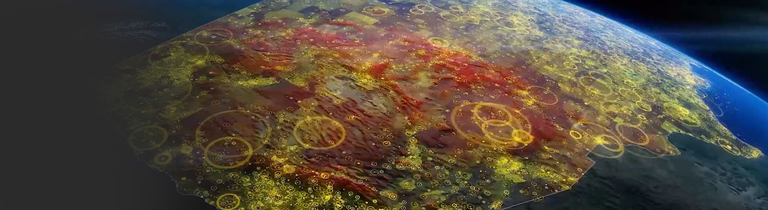
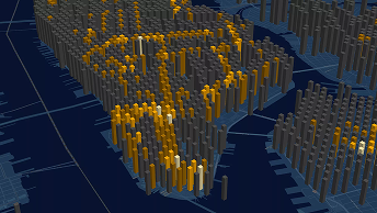
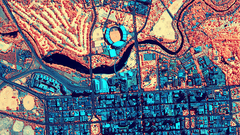
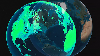
Skip to Content

Technology

We build ArcGIS, the leading mapping and spatial analytics software

ArcGIS is powerful geographic information system (GIS) technology that provides tools to capture, view, edit, manage, analyze, and share data in the context of location. It includes access to thousands of curated datasets and maps that can be explored and leveraged for analysis and insight. ArcGIS can be used in the cloud, on mobile devices, and on desktops to create maps, apps, dashboards, 3D scenes and models, and data science notebooks. 

Satellites in orbit

Mapping isn't limited to the earth's surface. Location technology helps us understand things that are underwater, underground, or even in space.

ArcGIS is an enterprise technology

ArcGIS is a comprehensive GIS system, complete with flexible licensing and deployment, a suite of ready-to-use apps, authoritative data, developer tools, a vibrant user community, and robust training and technical support options to fully equip your organization.

Scalable

As usage needs scale, ArcGIS scales to meet demand, supporting organizations as data increases in size, complexity, and velocity.

Secure and private

Trusted by even the most regulated industries, Esri embeds security, privacy, and compliance into the core of ArcGIS.

Integrative and flexible

ArcGIS integrates into key enterprise systems and workflows. It runs in your infrastructure or on cloud providers such as AWS or Microsoft Azure.

About ArcGIS

Drone mapping a ski slope

Planning a drone flight before takeoff helps operators confirm consistent altitude and inspect difficult or impossible to reach terrain.

Capabilities of Esri technology

View all products
Previous
Next

We invest in innovation

Thirty percent of Esri's annual revenue—more than twice the industry standard—is reinvested into research and development. We stay at the forefront of technology advances, rapidly evolving our software so you can do more with it.

How do you gain location intelligence (LI)?

By adding layers of geographic data—such as demographics, traffic, and weather—to a smart map or dashboard, organizations can use intelligence tools to identify where an event has taken place, understand why it is happening, and gain insight into what caused it.

Learn more about LI
Map of the San Francisco Bay Area showing the locations of customers by zip code relative to shopping areas

What can you do with artificial intelligence?

With location data as the connective thread, companies use artificial intelligence (AI) to automate processes, improve predictive modeling, and gain business advantages.

Learn more about AI
Map showing features automatically identified using a deep learning model

How do you discover the value of data?

Most digitally savvy executives use data-driven insights to propel faster decision-making. But the most competitive organizations and industries are transforming core business practices by tapping into location technology.

Explore digital transformation
Map with color blocks showing how the average age of retail shoppers varies by location

What is the full potential of IoT?

IoT-generated data's value is not intrinsic; it flows from what is done with it. Companies can use location technology to distill massive amounts of data and real-time data into actionable intelligence.

Learn more about IoT
Map of IoT device hotspots in Virginia

How do you create a digital twin?

Location technology interconnects systems, models, and behaviors with spatial context, creating holistic digital representations of environments, assets, networks, and cities. Digital twins help decision-makers predict how something will perform and identify potential problems before beginning a project.

Learn more about digital twins
Digital twin of rail infrastructure with parts of the structure highlighted in green

Get in touch

Contact us

Find a career

Search jobs