ArcGIS for Microsoft

Enhance your business decisions with location intelligence

Get started
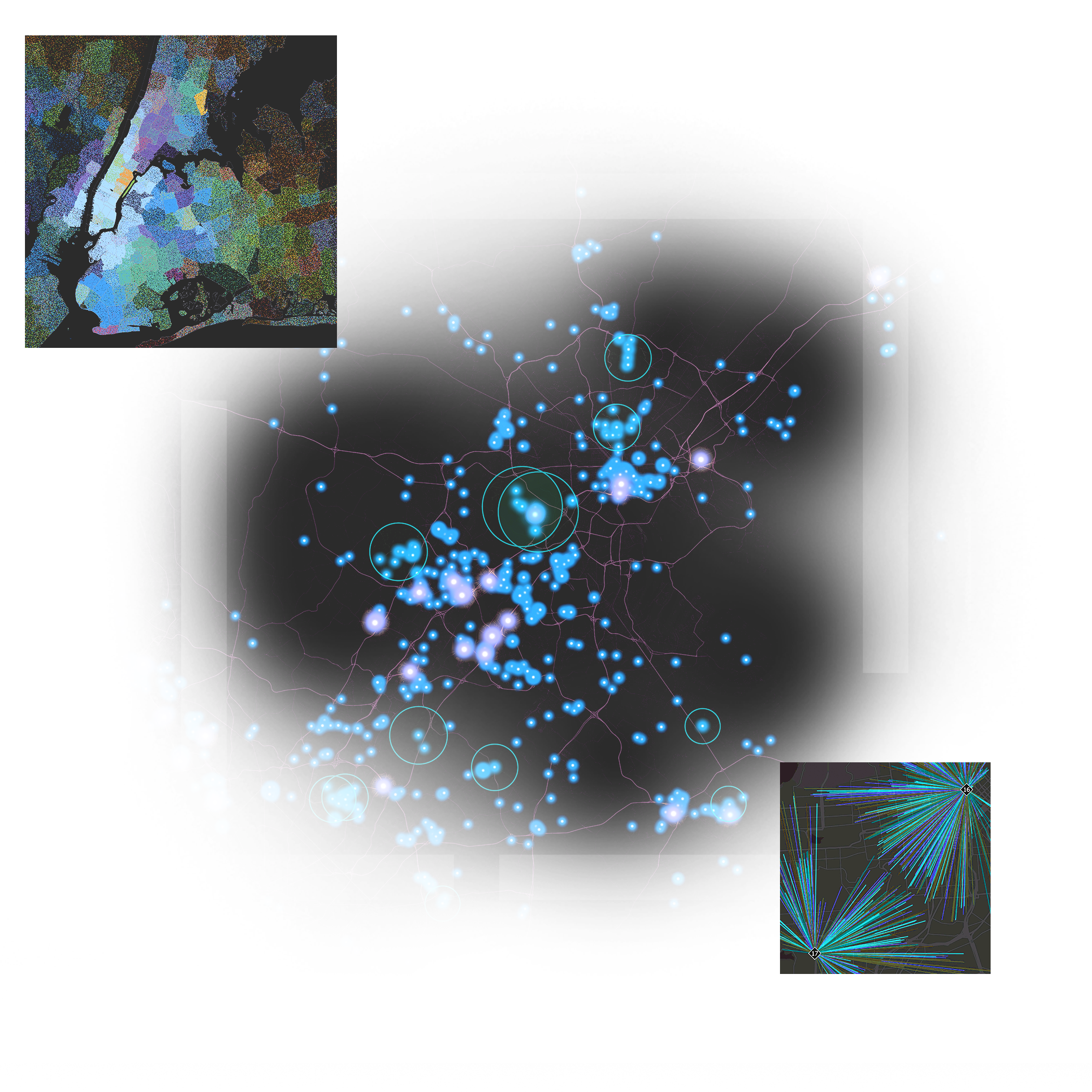
Data visualization showing geographic clustering and network analysis shown by circles, data points, and connected lines

Understand where things are and how they connect

ArcGIS for Microsoft integrates geospatial data and location services into Microsoft platforms. It delivers mapping, visualization, spatial analysis, automation, and geospatial application development capabilities to Microsoft users.

 Business professionals working around a table with inset images of sales data  with numbers and graphs and geographic maps

Benefits of ArcGIS for Microsoft

Previous
Next

ArcGIS for Microsoft integrations

ArcGIS for Microsoft 365

ArcGIS for Microsoft 365 integrates location analytics and provides access to spatially enabled apps and data in familiar Microsoft 365 applications. It enables everyone in your organization to visualize and analyze content geographically and gain insights from location intelligence.

Explore ArcGIS for Microsoft 365
 World map displaying heat data in orange, blue, and yellow colors and country names in black text with inset images of tools

ArcGIS for Microsoft Fabric

ArcGIS for Microsoft Fabric integrates mapping capabilities and geospatial analytics tools directly into the Microsoft Fabric environment. It enables spatial analysis at any scale using Apache Spark to uncover patterns and trends that can be incorporated into Microsoft Power BI for business reporting and further analysis.

Explore ArcGIS for Microsoft Fabric
 Power BI dashboard showing US map with data points, line graphs, a pie chart, and numerical data

ArcGIS for Power Platform

ArcGIS for Power Platform offers no-code/low-code development tools to support the development of geospatial apps and automated workflows. It enables the secure integration of geospatial capabilities and data into workflows across Microsoft and other business systems, driving operational efficiency and improving overall business performance.

Explore ArcGIS for Power Platform
  Map of North America in beige and green with an ArcGIS Connectors for Power Automate pop-up window for creating point geometry

ArcGIS Maps SDK for .NET

ArcGIS Maps SDK for .NET allows you to build 2D and 3D location-based mapping applications that work online and offline. Use .NET MAUI, WinUI, and WPF to build apps for Windows, iOS, and Android that include capabilities like geocoding, geofencing, routing, and navigation.

Explore ArcGIS Maps SDK for .NET

ArcGIS Enterprise on Microsoft Azure

Leverage the full power of a self-hosted infrastructure within a scalable, secure, and reliable cloud environment. Deploying ArcGIS Enterprise on Microsoft Azure enables organizations to improve efficiency and scale resources to meet evolving needs.

Explore ArcGIS Enterprise
  A male professional working on a computer deploying ArcGIS Enterprise on Microsoft Azure and monitoring data security

ArcGIS Pro on Microsoft Azure Virtual Desktop

ArcGIS Pro deployed on Microsoft Azure Virtual Desktop (AVD) delivers a powerful, flexible geographic information system (GIS) solution by leveraging Azure’s scalable resources to ensure optimal performance. With support for Windows 11 multisession virtual machines, it provides a seamless user experience and maximizes your investment in cloud technology.

Explore ArcGIS Pro

Frequently asked questions

A user type can give you access to data from ArcGIS and enhanced functionality for ArcGIS for Excel, ArcGIS for Teams, and ArcGIS for SharePoint. A user type is required to use ArcGIS Connectors for Power Automate—ArcGIS Location Platform; ArcGIS Connectors for Power Automate—ArcGIS Enterprise; or ArcGIS Connectors for Power Automate—ArcGIS Online. 

User types provide role-based access to capabilities, apps, and content for ArcGIS. Please refer to the user types page to learn about specific capabilities for each user type.

Yes, each app must be installed separately, which allows for a more tailored and efficient deployment. Each app has its own installation process to ensure that the necessary capabilities can be integrated directly into the Microsoft apps already in use.

Yes, credit consumption information is available in the ArcGIS for Microsoft credits documentation.

Contact sales

Connecting You with Sales Experts

Talk to someone on our sales team

800-447-9778

7:00 a.m.–5:00 p.m., Monday through Friday (PT)

Chat online

Start a chat

Contact the sales team

Fill out the contact form