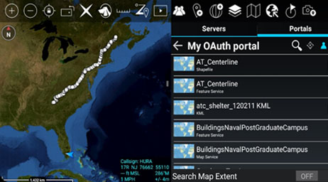
ArcGIS Mission is an all-inclusive command and control system for tactical operations powered by ArcGIS. ArcGIS Mission fuses your organization’s data in ArcGIS Enterprise with real-time updates from the field and the command center to streamline mission management and inform decision-making. Use one solution to plan, execute, and review operations and respond to unplanned incidents.
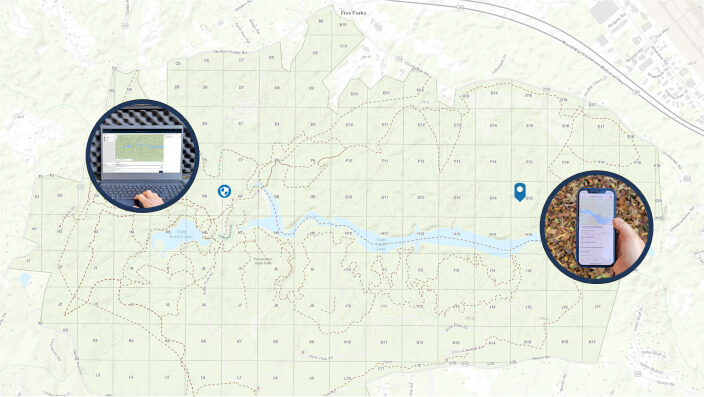
Utilize critical incident mapping tools to define areas of interest (AOI) and map tactical resource assignments. Coordinate team movements with real-time situational awareness and updates via persistent communication. Perform an after-action review to discover patterns and improve future operations with key mission data that is securely stored in your ArcGIS Enterprise portal.