Site selection
Find restaurant clusters
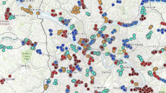
Review a workflow that explores data and performs clustering analysis to determine the potential best zones for a new restaurant in Pittsburgh.

Explore curated collections of notebooks, based on key workflows, to learn how you can start your spatial data science journey.
Find restaurant clusters
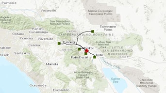
Find the nearest hospital

Count features in satellite images

Predict El Niño–Southern Oscillation

Check for broken URLs

Manage inactive users
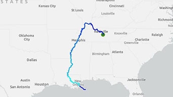
Track river pollutants
Predict asthma rates
Begin a conversation online.
Speak with a representative.