Drive your GIS with Python
Tap into modules that give you access to over 1,400 geoprocessing tools. Access, convert, and map geographic data; perform advanced spatial, geostatistical, and network analysis; and analyze imagery and more with ArcPy.


Tap into modules that give you access to over 1,400 geoprocessing tools. Access, convert, and map geographic data; perform advanced spatial, geostatistical, and network analysis; and analyze imagery and more with ArcPy.
Leverage specialized machine learning techniques that are inherently spatial via ArcPy—such as Spatially Constrained Multivariate Clustering, Forest-Based Classification, and Empirical Bayesian Kriging—to ensure the statistical significance of your models.

Save time and find efficiencies by automating repetitive analysis and administrative tasks using ArcPy. Manage map documents, layer files, and the data within them with the ArcPy mapping module. The mapping module also enables you to automate map production and export them into information products.


Leverage the capabilities of ArcPy in ArcGIS Pro, a powerful spatial data science workstation.
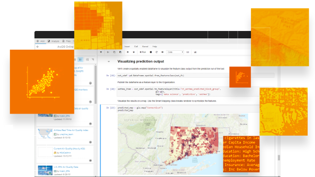
Learn about ArcGIS ProLeverage the capabilities of ArcPy in ArcGIS Notebooks, a spatially optimized Jupyter notebook experience.
Learn about ArcGIS NotebooksBegin a conversation online.
Speak with a representative.