Acquire reality data at scale
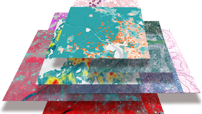
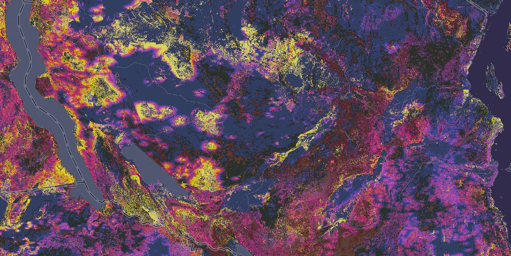
Get fit-for-purpose imagery from satellites, aerial systems, drones, lidar, and street-level sensors. With the right cadence and resolution, organizations gain a continuous, objective view of assets and environments, creating the foundation for informed decision-making.