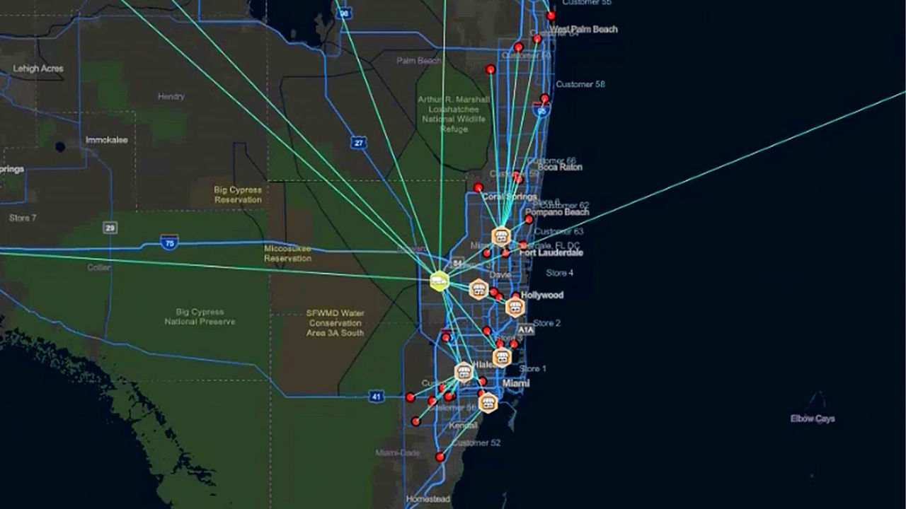
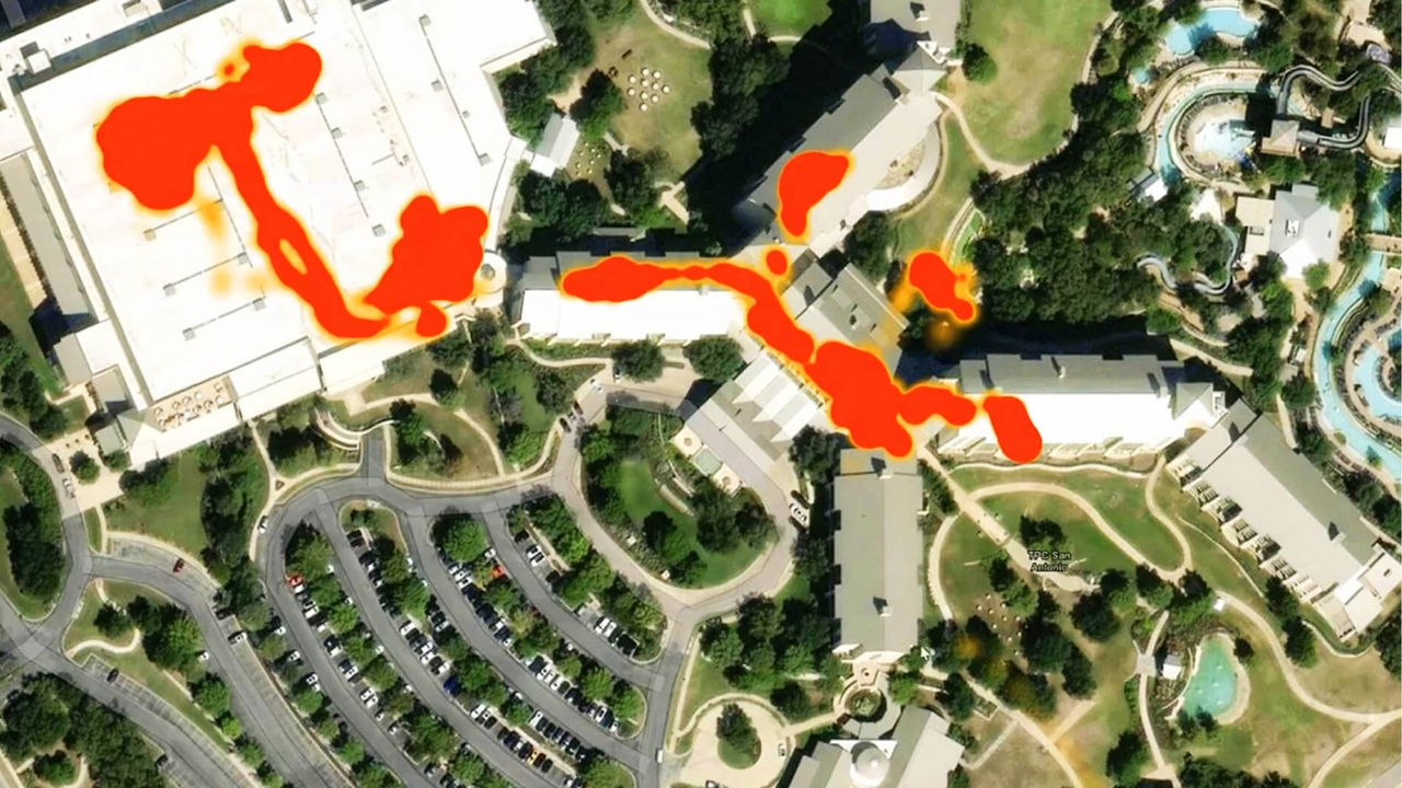
Predict risk exposure to prevent loss
Model potential operational and personnel incidents with predictive analytics, and act before they occur or escalate.
SECURITy operations in arcgis
Combine facility, asset, personnel, and supply chain data with real-time alerts on a single map to reveal risks that traditional systems miss.
ArcGIS connects your systems into one map, so risks to people, property, and operations are visible before they spread.
To protect people, property, and continuity, and stay compliant, combine your real estate, asset, and employee data with ArcGIS data:
In this map, a business with locations across the country uses ArcGIS to monitor alerts and incidents in real-time to protect facilities, personnel, and operations.

Choose how your organization uses ArcGIS to support mapping and analytics—whether you need a hosted environment, a self-managed deployment, or direct access to location services.
Tell us about your business. An Esri expert will reach out to discuss how mapping and analytics can help you stay ahead of trends and competitors.