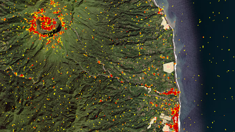
NASA Products for the La Soufriere Eruption 2021
The NASA Disasters Program monitored the La Soufriere volcano on the island of St. Vincent for several months before it erupted April 9th, 2021.
Access humanitarian and public health data, live feeds, technology, and resources
View agency and industry best practices using geospatial technology for humanitarian and public health response and recovery.
NASA Products for the La Soufriere Eruption 2021
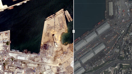
Beirut Port Explosion - Before and After Imagery
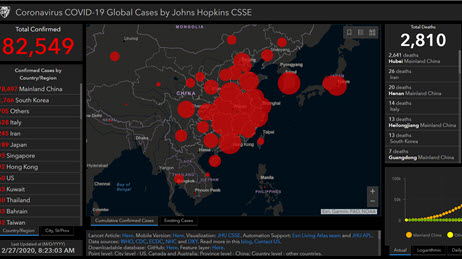
Coronavirus Global Cases by Johns Hopkins Univ.
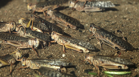
2020 Desert Locust Crisis
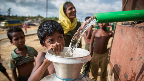
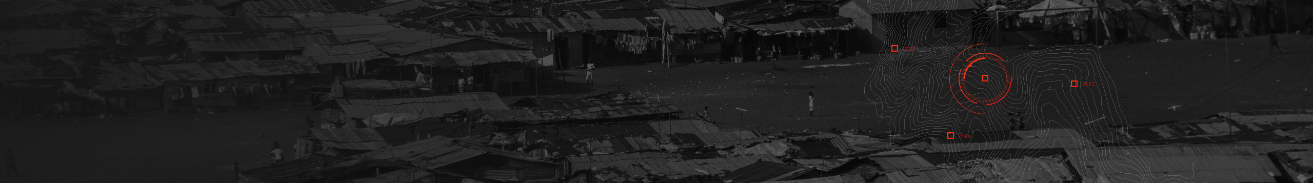
Rohingya Refugee Emergency at a Glance
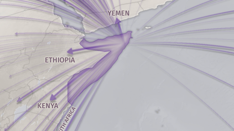
The Uprooted
Use this collection of applications, articles, imagery, and organizations to help plan and manage your humanitarian and public health response.
Request embedded maps or interview topic experts for your disaster-related editorial features and news stories.
Explore ArcGIS Solutions, incident-specific data, resource catalogs, and live data feeds to support your disaster response.
See how we help organizations maximize impact for people, planet, prosperity, and peace.
If you need GIS software or support for your current disaster response, please request assistance by completing the form. All requests should be fully justified and are subject to approval.