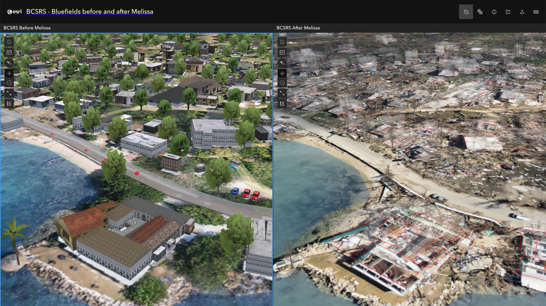
Hurricane Melissa - Bluefields Swipe App
Comparison of Bluefields before and after Hurricane Melissa, utilising the Bluefields Community Smart and Resilient Settlement (BCSRS) Model.

Access hurricane/cyclone data, live feeds, technology, and resources
Track hurricane/cyclone activity and manage your response with global live feeds and sensor data.
This map is intended to provide general awareness of current and recent tropical cyclone weather around the world.

View agency and industry best practices using geospatial technology for hurricane/cyclone response and recovery.
Hurricane Melissa - Bluefields Swipe App

Hurricane Melissa - Imagery Swipe App
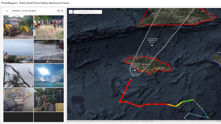
Hurricane Melissa - PhotoMappers
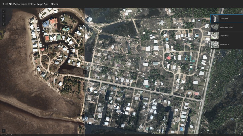
Hurricane Helene - Before and After Swipe Map
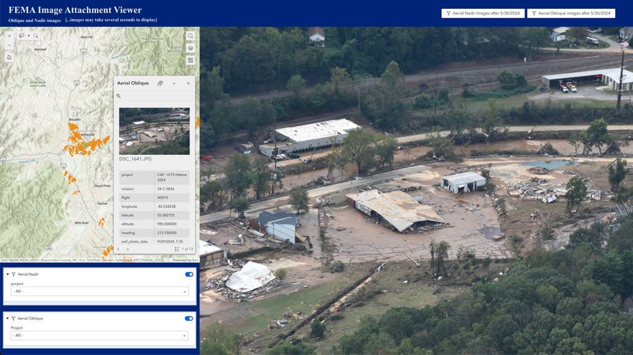
FEMA Image Attachment Viewer - Civil Air Patrol
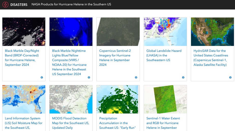
NASA Disasters Products for Hurricane Helene
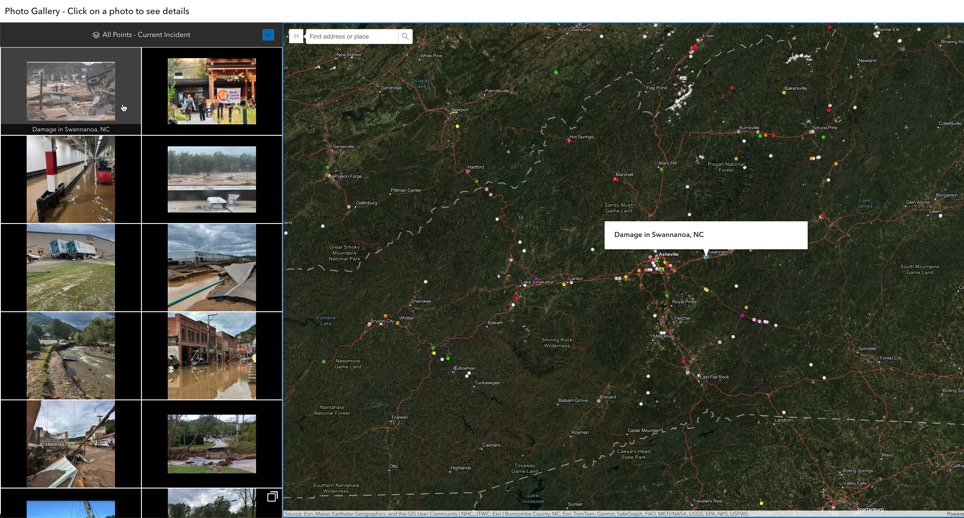
PhotoMappers - Hurricane Helene Gallery
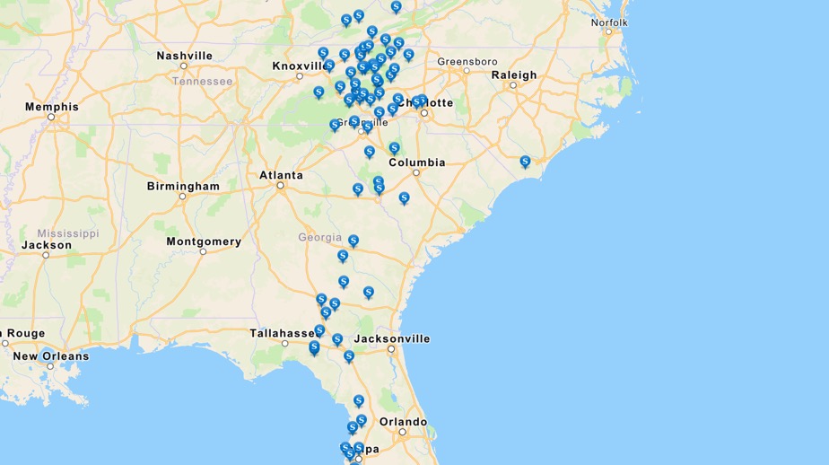
American Red Cross Shelter Map
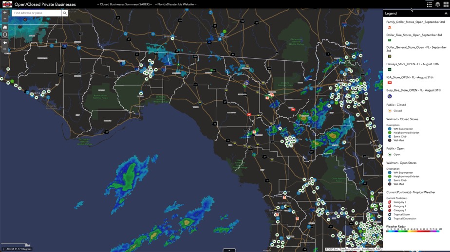
Florida SERT Open/Closed Private Businesses-Helene

FEMA's Hurricane Incident Journal
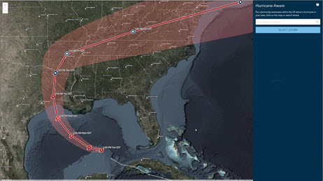
Hurricane Aware
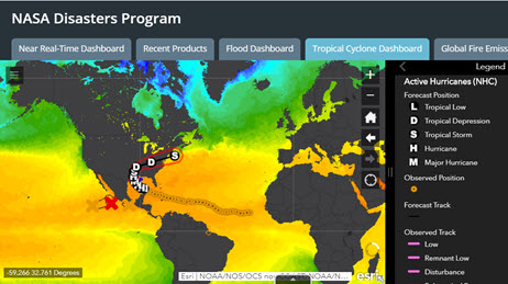
NASA Disaster Program – Hurricanes
Use this collection of applications, map layers, how-to guides, and reports to help plan and manage your hurricane/cyclone response.
Request embedded maps or interview topic experts for your disaster-related editorial features and news stories.
Explore ArcGIS Solutions, incident-specific data, resource catalogs, and live data feeds to support your disaster response.
See how we help organizations maximize impact for people, planet, prosperity, and peace.
If you need GIS software or support for your current disaster response, please request assistance by completing the form. All requests should be fully justified and are subject to approval.