Skip to Content

Airport Operations and Safety

Improve airport operations safely and economically

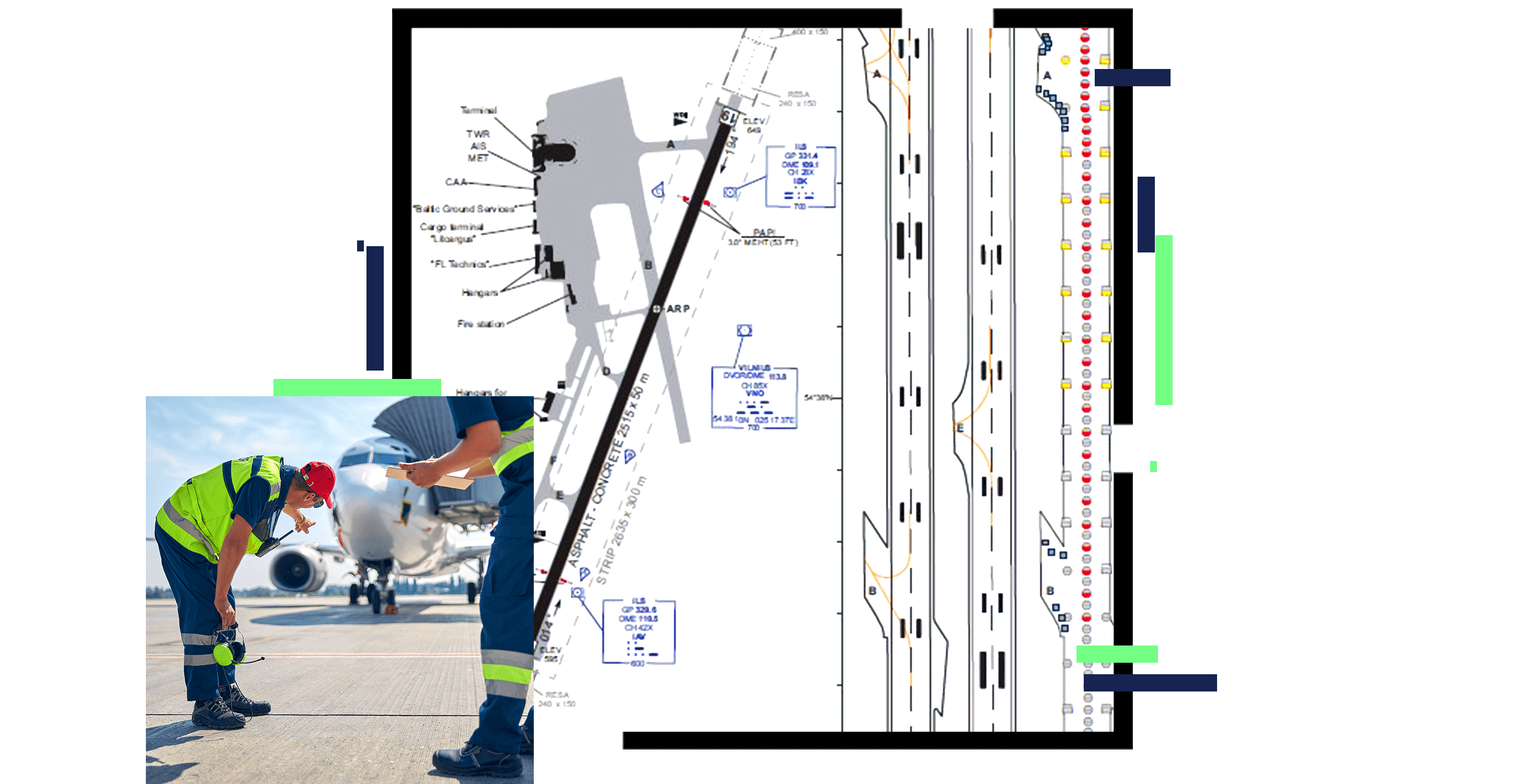
A map of an airport, overlaid with a photo of airport staff in yellow vests and hardhats inspecting an airport runway

Airports are a vital economic asset to the regions they serve. As capacity grows, airports must ensure safety is never compromised and must demonstrate this to regulatory agencies. To operate safely and effectively, airports must know where and in what condition their assets are and demonstrate compliance to aviation authorities. GIS helps increase airport capacity by gaining efficiencies of operations as well as helping plan and manage expansion.

Enhancing airport operations with GIS

Increase business revenue

Grow capacity, analyze statistical data, and gain location-based insights on commerce and passengers to increase business revenue. Understand the trends that increase air traffic at your airport through rich analysis and visualization tools.

A photo of three smiling, professionally-dressed people, grouped around a laptop in a brightly-lit office environment

Increase operational safety

Use field data collection tools to capture and report on airport inspection observations for regulatory compliance that enhances safety. See patterns emerge when using GIS to analyze airport inspection data for incident prevention. Integrate inspection workflows with other business systems including work order management and asset management.

A photo of a utility van with red and yellow safety stripes painted on the back, driving along an airport runway

Prepare for and respond to emergencies

Integrate data from airport police, fire and rescue, and outside agencies to better prepare for and respond to emergencies.

A photo of two firefighters in yellow hazmat suits, helmets, and gas masks, pointing a red fire hose at an off-camera target

Protect airport airspace

Use GIS to manage and analyze proposed construction projects in the airport vicinity as well as vegetation growth in airport protection surfaces to safeguard airport airspace. Visualize impacts of new obstacles in airspace in 3D and collaborate with stakeholders.

A graphic of a computer monitor displaying airspace over a landmass in blue and green

Comply with national & international guidance

Comply with national and international guidance to ensure the protection of the data chain for airport data and submission to the airport's national aviation authority. Leverage workflow tools to ensure traceability and accountability of data and standards-based exchange using the Aeronautical Information Exchange Model (AIXM).

A graphic of a computer monitor displaying an airport runway map and surrounding areas

Manage drone operations

Safely integrate drones into the national airspace system by using GIS to assess risk and map areas for safe operations as well as areas restricted to drone traffic. Communicate and share information with the drone community to build awareness of regulations and increase safety with civil aviation authorities.

A closeup photo of a drone flying over a runway near sunset on a hazy day

Products for airport operations and safety

Previous
Next