Esri UC is almost here, and now’s the time to start planning your week. This year’s theme, GIS: Creating a More Intelligent World, highlights the importance of GIS technology in mission-critical operations. This year’s theme underscores a message that resonates across government: GIS is an essential infrastructure for smarter, more efficient service delivery.
As you prepare for the conference, think about how you can make new connections, discover innovative solutions, or learn about ArcGIS capabilities that will help you integrate data, gain actionable insights that guide policies, and turn complex data into timely, coordinated action.

Your Guide for the Week
With hundreds of activities, demos and networking opportunities available, the Esri UC allows you to build an agenda tailored around your mission priorities.
Whether your focus is national government, public safety, national security, sciences, or imagery & remote sensing, there are dedicated sessions to help you:
- Learn new patterns
- Solve complex operational workflows
- Explore data integration
- Ensure connected operations through field mobility
- Achieve real-time awareness, and
- Build a modern and mission-critical enterprise GIS
To help you navigate the week, we’ve compiled industry-specific agendas highlighting recommended sessions, training, and networking opportunities. Explore the agendas below and start building your personalized conference experience.
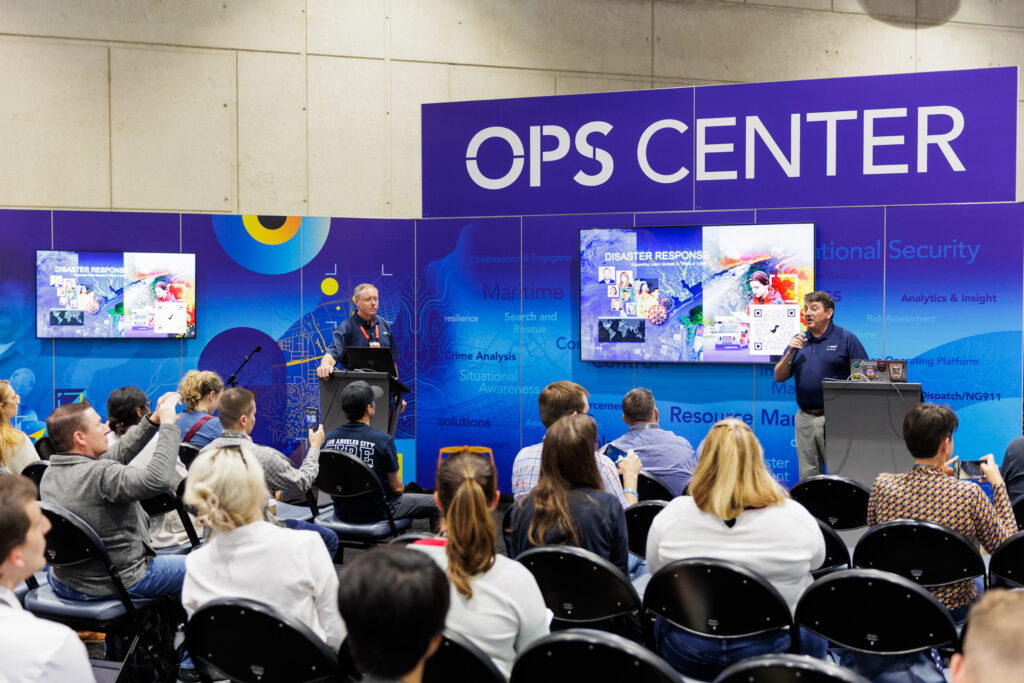
National Security and Geospatial Authorities
- Emergency Communications
- Emergency Management
- Fire, Rescue, and Emergency Medical Services
- Homeland Security
- Humanitarian Assistance
- Law Enforcement
- Wildland Fire
Imagery and Remote Sensing, and Civilian Sciences
- Climate Action
- Conservation
- Humanitarian Action
- Nonprofit Organizations
- Sustainable Development
Young Professionals Network (YPN)
Summits and Symposiums
In addition to the main conference program, the Esri UC offers focused summits and symposiums that provide deeper learning and engagement opportunities for government professionals.
These focused events bring together practitioners, leaders, and Esri experts to discuss shared challenges, emerging technologies, and proven approaches. Be sure to add the symposiums to your agenda and register for the National Security and Public Safety Summit if you haven’t already!
- Esri Safety and Security Summit (ES3): Saturday and Sunday, July 11 and 12
- Defense and Intelligence Symposium: Tuesday, July 14
- National Geospatial Symposium: Tuesday, July 14
- Science Symposium: Tuesday, July 14
- Native Nations Symposium: Wednesday, July 15
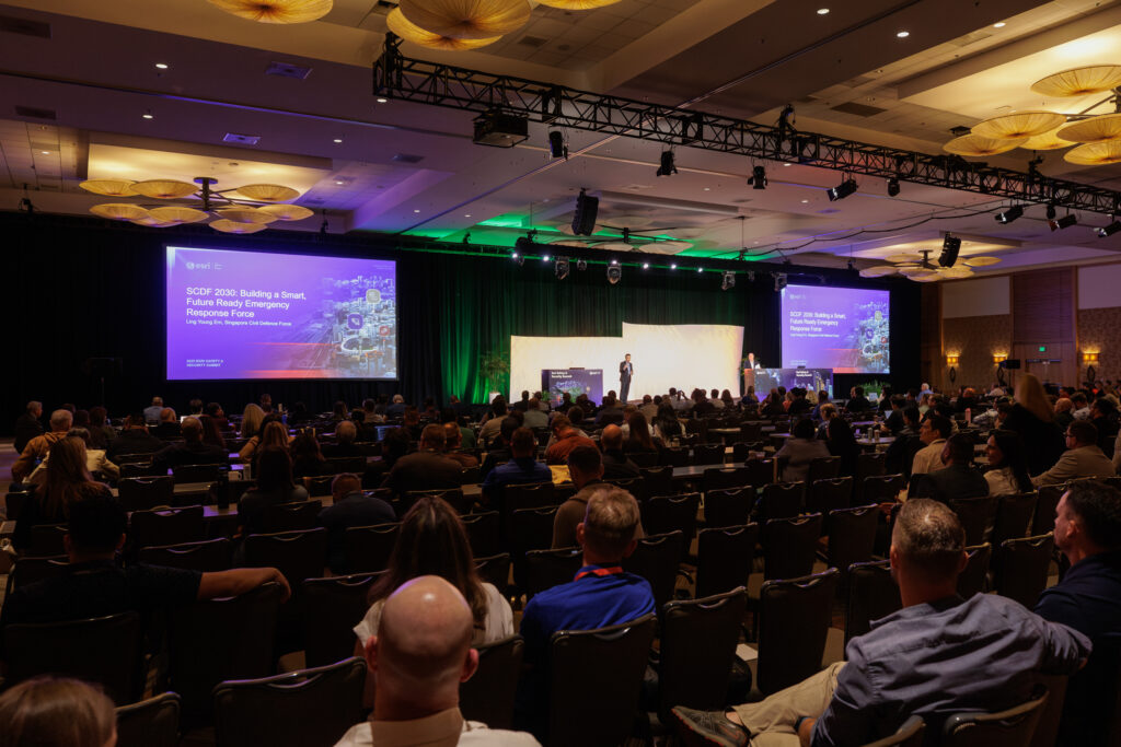
Social Events and Community Connections
Some of the most valuable conversations at Esri UC happen outside the session rooms.
Throughout the week, receptions, networking events, and informal conversations are designed to help you build relationships across agencies, disciplines, and the broader Esri ecosystem. These interactions often lead to new ideas, lasting professional relationships, and future collaboration opportunities. We encourage you to make time for these events, expand your network, and engage with fellow GIS and industry professionals.
Before You Arrive
To get the most value from your week:
- Review the industry-specific agenda for your area of interest.
- Register for summits, symposiums, and ES3 events.
- Build your conference schedule in advance.
- Schedule meetings with colleagues, partners, and Esri staff.
- Leave room in your agenda for networking and spontaneous discovery.
We look forward to seeing you in San Diego—be sure to look for the red staff badges. Stop by the expo hall or session and networking events, introduce yourself, and let us know how we can help you make the most of your Esri UC experience.