For over 20 years, the National Society of Professional Surveyors (NSPS) has organized a student competition in conjunction with their spring business meetings in Washington, D.C. Now organized by the Young Surveyors Network (YSN) of the NSPS, the competition hosts higher-education land surveying student teams from across the U.S. and Puerto Rico, and challenges them to put the surveying skills they are learning in school to practical use. Over time, the competition has evolved to incorporate new technologies while also challenging students in fundamental surveying principles. This year’s competition spanned two days and consisted of conventional field exercises and a survey monument scavenger hunt. The event saw a record number of 24 teams from across the U.S. participate, including one high school!
Conventional Field Exercises – Timeless Fundamental Practices
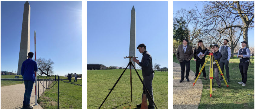
The field activities took place on the National Mall near the Washington Monument. Students competed in three exercises: a three-wire leveling loop that was judged on closure and balancing of foresight/backsight, a four-sided traverse using a compass and Gunther’s chain, and a triangulation exercise where students set up a T2 theodolite over known geodetic control marks, backsighted the Washington Monument (with known coordinates), and determined the coordinates of the Jefferson Pier. Teams were given one hour to complete each exercise using the non-electronic equipment, including their computations (calculators were allowed). Students could earn extra credit by dressing like surveyors from a historic era which prompted many curious looks from those passing by!
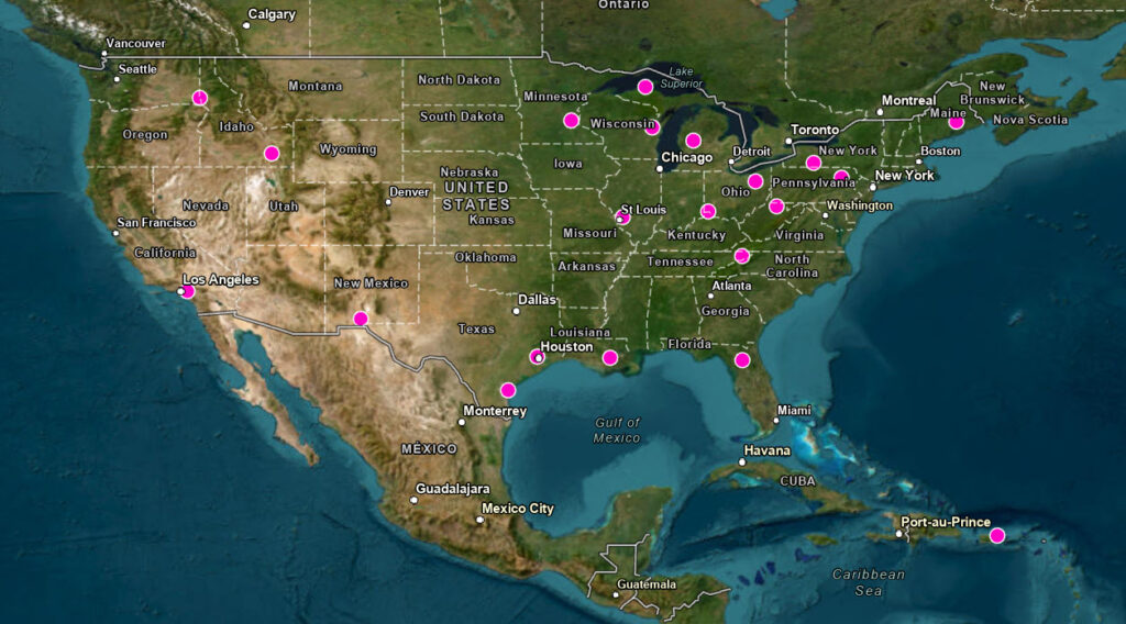
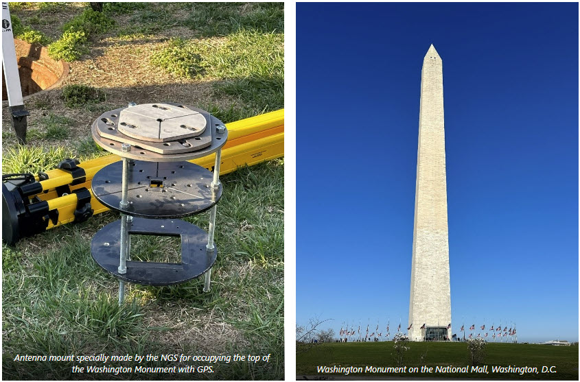
Geodetic control is hidden all over the National Mall in Washington, D.C. You can see it for yourself on the National Geodetic Survey (NGS) survey control map. The Washington Monument itself is a geodetic control mark, and NGS has occupied it with GPS in 1999 and again in 2013, when scaffolding was put in place for repair work following the 2011 earthquake that struck in nearby Virginia. During this year’s student competition, NGS had the specially-made antenna mount for the top of the monument on display.
Monument Scavenger Hunt – The Past Meets the Present
With the help of geographic information system (GIS) technology, the students set out in the City to see how many of the 104 historic survey monuments and NGS control points provided they could find. Not wanting students to be further than a 20-minute walk from a metro station and being mindful of sensitive areas, competition organizers used GIS’s spatial analysis capabilities to select points appropriate for the students to find. (Not to worry – a NSPS YSN representative accompanied each team for safety and guidance). Wanting to make sure the hunt was sufficiently challenging, monuments of varying degrees of difficulty to find and recover were included and assigned point values accordingly. This required the students to be strategic in their approach – find as many low-point value monuments as they could quickly or spend more time going after the higher value ones? Take the metro, walk, run, scooter… or bike? So many decisions! In a timed competition, (6 hours) one wrong decision can be detrimental to the final score!
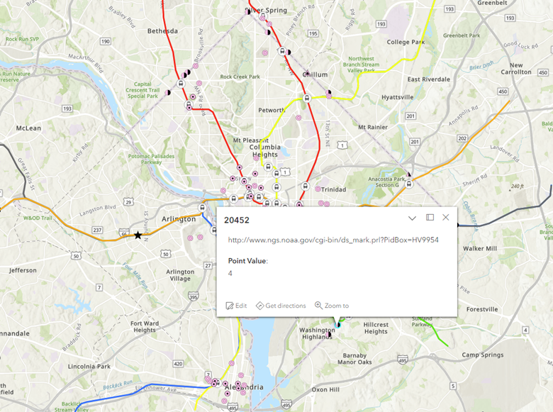
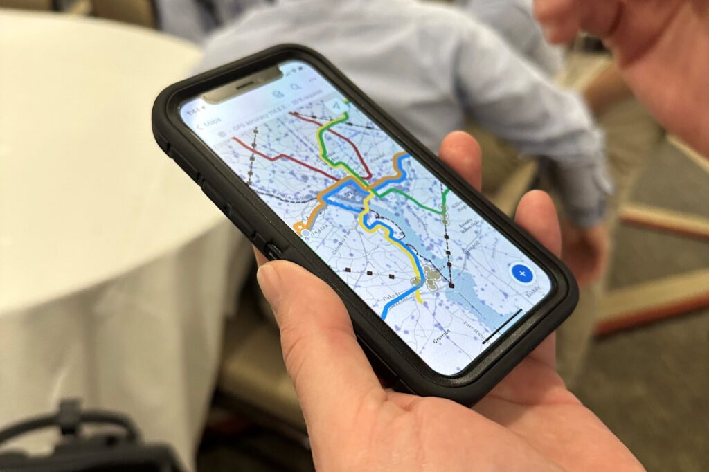
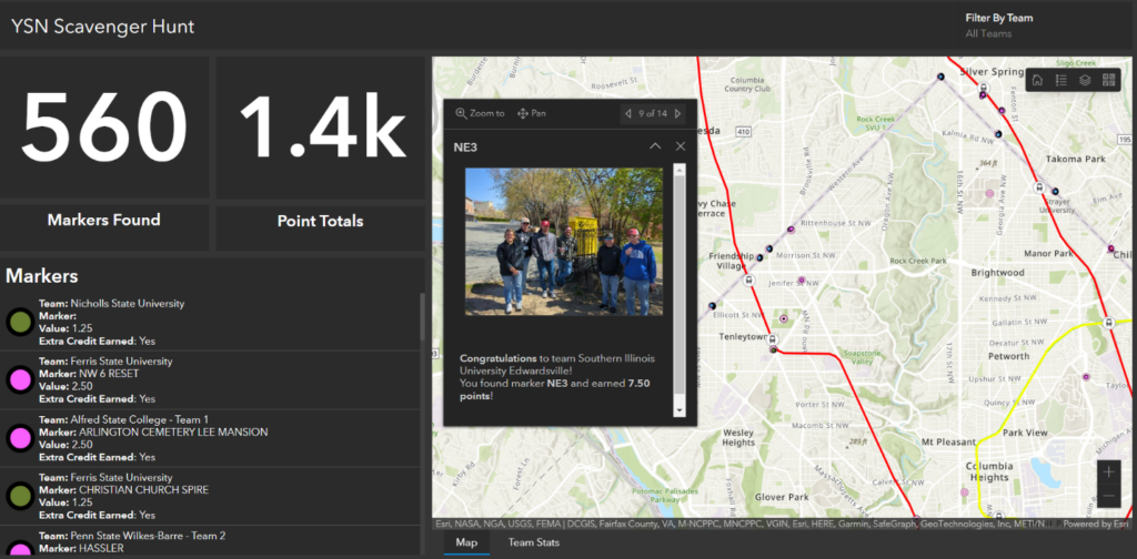
ArcGIS Field Maps was instrumental in providing students with a navigation and data collection platform. They were required to find the monument, collect a point, and take a picture. Once submitted, the point value was automatically assigned, and extra credit added if they posted the photo to social media. ArcGIS Dashboards enabled organizers to monitor the student teams in real-time and see the scores aggregate automatically. I don’t know about you, but I wouldn’t want to score this competition manually! For an event that only lasts two days, but is packed with activity, the amount of efficiency gained by using GIS cannot be understated.
Washington D.C. – Rich in Surveying History
For most participants, the competition provides a once-in-a lifetime opportunity to not only practice surveying skills they are learning in school, but also learn about and experience the rich surveying history in our nation’s capital. Washington D.C. was set aside as a 10-mile by 10-mile Federal District, with land ceded from Maryland and Virginia. Land that Virginia had contributed was retroceded in 1846. The boundary stones around the perimeter of the District were the first survey marks set by the Federal government, with the earliest one being the South stone that is still in place at Jones Point Park in Alexandria, VA. Andrew Ellicott and Benjamin Banneker surveyed and set the boundary marks around the District in 1791-1792. Given its history and all the hidden marks throughout the city, Washington D.C. is a surveyor’s paradise!
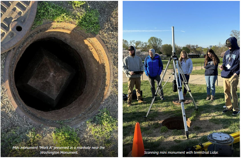
Surveying experts from the National Geodetic Survey (NGS) were on hand at the National Mall during the event and shared some history about the Washington Monument with the students. They learned that on the ground around the base of the Washington Monument are four marks, one at each corner, that were used to monitor the stability of the monument as it was being built. These marks are named “Casey” in the NGS database as tribute to Lt. Col. Thomas Casey, who supervised the construction of the Monument.
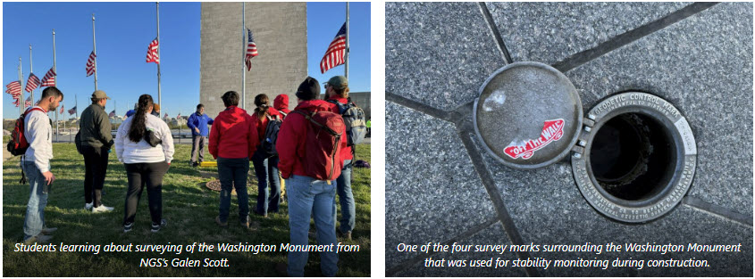
Levels were regularly run from the Mini-Monument (Mark A) to each corner, making a strong local leveling tie that was brought into the National network once leveling to the rest of the country was brought through in 1884. During the student competition, the manhole cover that normally hides Mark A was removed, and for two days this 14-foot-tall model of the Washington Monument was viewable. We even took an OPUS Share observation on it and scanned it with terrestrial lidar!
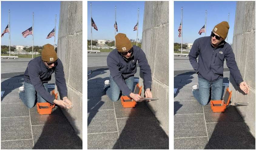
In addition to the “Casey” marks and mini monument that were described, there are two tiny caps that are barely noticeable on the monument. These hide leveling control that was put in during the 1980s. NGS has a tool that was specially made at the Corbin machine shop that takes the cap off and then there is a separate precision-made adaptor that fits perfectly in, that is then used as a benchmark. This same style of monument is built into the Lincoln Memorial and the Jefferson Memorial.
Until Next Year
Planning is already underway for next year’s competition. Because some students return consecutive years, organizers must get creative in changing the competition so there aren’t any “returning student” advantages! To assist, GIS will again be put to work to help plan, analyze, and design next year’s activities.
To learn more about how GIS can add value to the work land surveyors do, join our three-part webinar series hosted by NSPS and Esri.