The location analytics program at the W. P. Carey School of Business at Arizona State University (ASU) is about to expand, now that it has been tested through its masters’ program in information systems management.
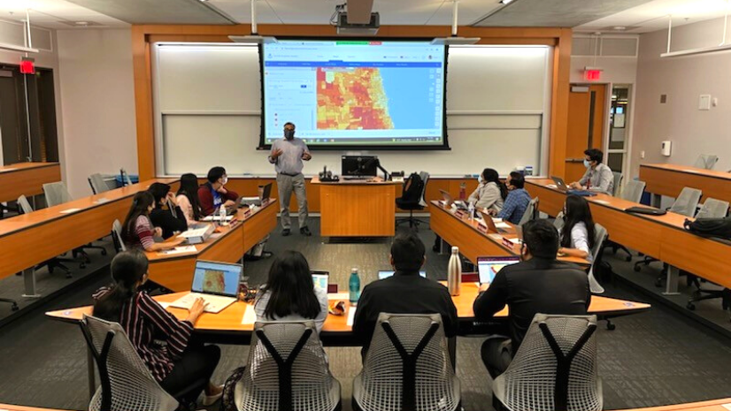
In spring 2021, Dr. Asish Satpathy offered a short course on location analytics for business executives; the course consisted of two weekends for one unit of credit. Due to the surge in demand, he offered an expanded version of the course in spring 2022 that spanned four weekends for two units of credit. This course, entitled Location Analytics for Business Executives, explores the use of location data for business applications, introducing spatial data analysis as it applies to retail, insurance, marketing, real estate, and other areas of business. The course offers students an opportunity to gain hands-on experience with functionalities such as location analytics and visualization, using industry-standard business mapping software including ArcGIS Online, ArcGIS Business Analyst Web App, and ArcGIS Insights.
The new course addresses the overarching objectives of the school, such as embracing the innovative curriculum at W. P. Carey School of Business, leading a new movement for skill enhancements in course offerings, and advancing ASU’s aspiration of transcending academic disciplines through interdisciplinary collaboration.
The course objectives state that students will be able to do the following:
- Describe how location information can help business professionals question, analyze, interpret, and visualize spatial data, enabling more informed decisions
- Explain the basic principles of geographic information system (GIS) technology including coordinate systems, projections, maps, and geodatabases
- Use industry-standard Esri GIS software such as ArcGIS Online, Business Analyst Web App, and Insights, and recognize other open-source GIS software
- Apply geospatial technology to various business functions, including market planning, site analysis, market research, and supply chain management
- Examine case studies that demonstrate how location information is leveraged in specific industries to solve underlying business problems
- Establish a collaborative relationship with peers to identify a real-world problem, gather information on the process to perform gap analysis, and produce a GIS-based solution
The course fits in perfectly with the students’ learning goals: critical thinking, communication, discipline-specific knowledge, ethical awareness and reasoning, and global awareness. Critical thinking is built around the recognition of the value of location data in relation to business goals and the best ways in which we can manipulate and transform this information to achieve those goals. Communication is inherent to the processes of interpreting location-based information and producing location-based visualizations to enhance decision-making. The specific knowledge of location analytics provides a whole new context in business intelligence that is simply not possible with tables and charts. Ethical awareness is required to use these skills and knowledge for the achievement of business goals respecting the fairness, inclusion, and social wellness principles ASU students abide by. Finally, the class materials used are thought to ensure exposure to diverse data from different contexts that promote global awareness among students.
The course contents include an introduction to GIS; discussion and work with coordinate systems and projections; a software introduction; characteristics of spatial data (vector and raster); geodatabase and table operations; principles of data visualization with maps; decision-making with spatial data; location data visualization; project introductions; and topics relating to marketing (customer analysis, business opportunity analysis, and product mix strategy), health care (the need for services), and the supply chain (route optimization). During the final class segment, students are asked to research and present an issue or problem by using location analytics.

Students have had very positive reactions to this course. Students’ comments included statements such as this: “This course opened up understanding the power of analytics through spatial data, its applications, and the kind of job opportunities that exist. It totally changed my perspective about location data.” In fact, during spring 2021, most of the 31 students who completed this course stated that they wanted to learn more about location analytics.
Learn more about location analytics in business education with these resources for teaching and research.