Given that location analytics tools and geospatial data are increasingly used in business workplaces, university faculty are increasingly using location analytics in their business courses and programs. The work that five universities featured in this article are doing with location analytics fosters critical thinking skills, spatial analytics skills, and problem solving, preparing students to be key decision makers when they graduate.
1. University of California, San Diego: Master of Science in Business Analytics
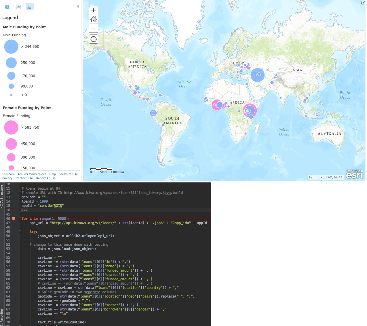
Spatial analysis and data science featured prominently in the capstone projects of the Master of Science in Business Analytics program recently at the University of California’s Rady School of Management. For the capstone research course, students proposed the most commercially viable use for a parcel outside of Redlands, California using Business Analyst Web, R, ArcGIS Online, and other tools. Proposals included modular units creating an outdoor food court, a hotel, a multifamily apartment building, and a health care facility. The project required the business goal to be framed in three phases: Descriptive, Predictive, and Prescriptive. Advised by members of the Esri education and commercial teams each week during the semester, these students approached the problem from a data science perspective, creating a set of story maps to present their results to each other, to Esri staff, and to their professors.
2. University of Redlands: Mastering the Business of Where
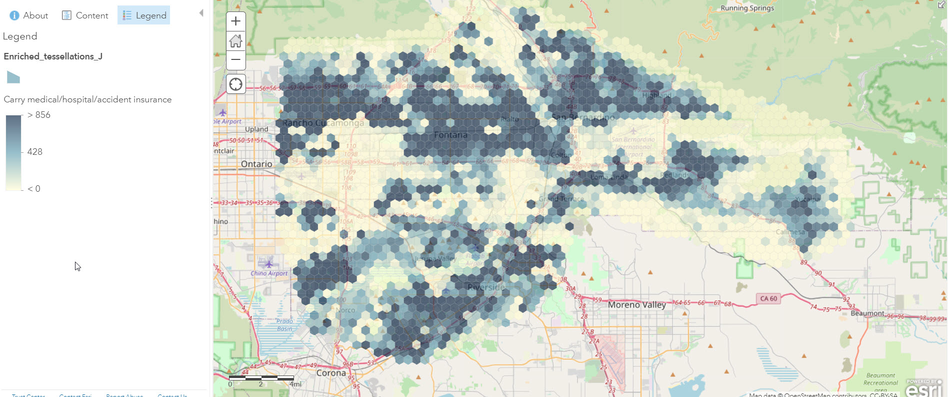
The University of Redlands was one of the first universities to create an MBA program concentrating in Location Analytics. Citing statistics that GIS will be a $10 billion industry by 2023 (according to BusinessWire.com), the program seeks to “equip students with the skills to unlock the potential of spatial data, solve real-world problems, and gain competitive advantage in today’s business world.” The university’s graduates are thus prepared to use the power of location intelligence to improve decision-making, organizational performance, and business development. Included in the 24-month program is a spatial business initiative with Esri, that aims to maximize the understanding and effectiveness of GIS in business through education, publishing, research, and advising.
The University of Redlands School of Business has a long history and expertise in using GIS for business. In addition to its MBA in location analytics, it is the only business school that requires a location analytics course for undergraduates and hosts two GIS for business research enterprises: The Center for Spatial Business, which develops curricula, provides leadership in spatial thinking for businesses and organizations, partners with companies, communities, and academic organizations to promote cooperation in furthering scientific understanding of place and location for organization and business success. It also houses the Institute for Spatial Economic Analysis (ISEA), which offers science and research-based spatial analysis and forecasts of economic phenomena, focusing on employment, housing, retail, logistics, industry analysis, and economic risk assessment.
3. James Madison University: Global Supply Chain Management Minor
Dr. William Ritchie, CSX Professor of Management, has been using location analytics in the university’s supply chain management program for the past three years. Most recently, with the disruption caused by COVID-19, he created and taught entirely online a supply chain course entitled Introduction to Supply Chain Management. This course asked the students to investigate such spatial problems as the COVID-19 impact on hospital certification visits and staffing shortages in distribution centers as well as remote sensing and maritime vessel tracking using ArcGIS Online tools and spatial data. Professor Ritchie conducted pre-and-post student surveys and analyzed mean differences to determine learning outcomes. He found statistically significant increases (p < .05) in many statements related to the students’ ability to apply spatial analysis to supply chain problems as well as greater perceived utility of mapping as a relevant workplace toolset.

4. Georgia Tech University: Leaders in GIScience MBA Program
Georgia Tech University, long a leader in its Masters in GIScience program, also has been using location technology in its MBA program. Recently, four Georgia Tech MBA students took first place in Texas Christian University (TCU) Neely Center for Supply Chain Innovation’s Graduate Supply Chain Case Competition. The case competition, provided by Chick-fil-A, addressed the challenges of supporting high supply chain growth in seven western states. Utilizing demographics, consumer behaviors, and natural seasonality, each team was tasked with expanding distribution networks to meet customer demand for Chick-fil-A products. Teams were also provided with GIS software from Esri.

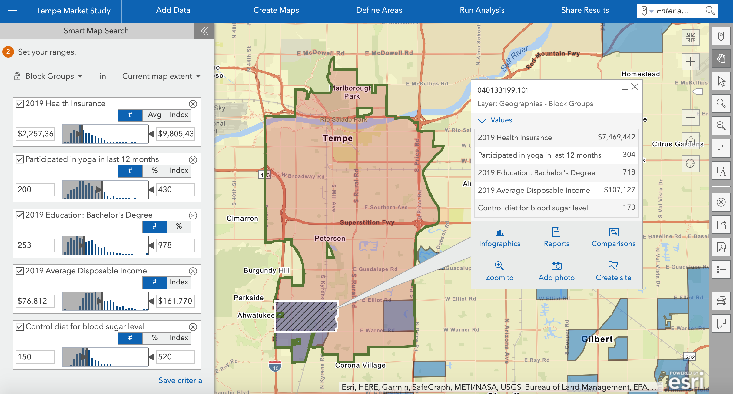
5. Arizona State University: Applied Business Data Analytics Certificate
Dr. Asish Satpathy and Dr. Andres Diaz created a course entitled CIS 394: Location Analytics for Business to serve as an initial offering in the WP Carey School of Business, in which 16,000 students are enrolled. The location approach proved so valuable that it included in an 18-credit hour applied business data analytics certificate. The certificate provides rigorous exposure to predictive analytics and modeling, big data techniques, and visualization, providing insight into advanced uses of the computer-based tools. Critical thinking is an important skill and mindset that is required to establish and evaluate evidence-based benchmarks for making good decisions leading to high-quality outcomes.
These five programs are providing foundations and skills not only for their students, but graduates from these programs will be positively impacting their workplaces with spatial thinking and GIS skills. You can bring location analytics to your business school using the resources we’ve compiled below. If your institution has an Education Institution Agreement or Academic Department License, you already have access to Business Analyst, Insights, ArcGIS Online and Story Maps as well as consumer spending, lifestyle segmentation, and business listing data through the Living Atlas of the World.
Ready to add location analytics to your program?
See the Location Analytics in Business Education: Resources for Teaching and Research page to learn:
- How to use location analytics as an instructional tool in business
- Location analytics tools
- Data resources to support business research and education
- Location analytics case studies
Refer to the blog Curricular Resources and Messaging for Teaching Location Analytics in Business for:
- 10 key messages for faculty to share with colleagues and students about why location analytics matters to business education
- Hands on activities aimed to foster location analytics skills
- A syllabus for a short workshop on location analytics

