Anthony Schultz
Connect:

Anthony Schultz is the Director of Wildland Fire Solutions at Esri. He has a background in wildland fire management and operations, having served in a variety of capacities, most recently as the Fire Management Officer (FMO) for the State of Wyoming. During his tenure in Wyoming, he served as chair of the Western State Fire Managers and was a Rocky Mountain Coordinating Group member. He has also served as an FMO with the State of North Dakota. Prior to becoming an FMO, he worked as a wildland firefighter the Bureau of Land Management, the National Park Service, and the US Fish and Wildlife Service.

Posts by this author
Celebrating GIS Day: A Wildland Firefighter’s Perspective

Read a wildland firefighter’s perspective on the evolution of GIS and its vital role in protecting communities.

Continue Reading

Lost and Found: How ArcGIS and GPS Change Location Sharing in the Wild

Real-time firefighter location tracking offers a critical solution for safety in disconnected situations.

Continue Reading

Get Ready for the 2024 Esri Safety Security Summit (ES3) & Users Conference (UC) in San Diego!

Esri’s User Conference promises to be a fantastic event and we've compiled a list of all things wildland fire to help you plan your visit.

Continue Reading

An International Effort to Reduce the Impacts of Urban Conflagrations and Wildfires

Explore key topics discussed during the symposium, shedding light on the challenges faced by fire agencies on both continents.

Continue Reading

Revolutionizing Evacuation Planning with Location Intelligence

Explore how Esri helps organizations approach challenges in wildland fire response, including communication and evacuation.

Continue Reading

Revolutionizing Evacuation Planning: Addressing the Challenges in Wildland Fire Response

Explore how Esri helps organizations approach challenges in wildland fire response, including communication and evacuation.

Continue Reading

From Paper to Pixels: Rethinking Community Wildfire Protection Plans

Learn about the importance of modernizing Community Wildfire Protection Plans (CWPPs) and how ArcGIS Hub is revolutionizing the planning process.

Continue Reading

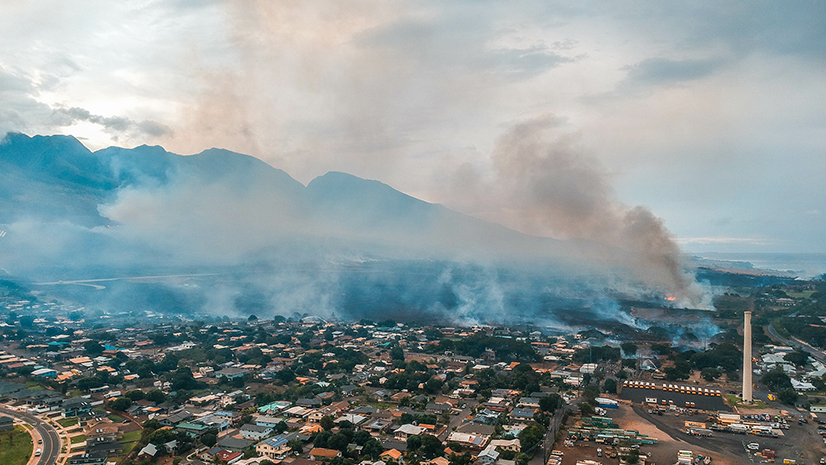
GIS and Artificial Intelligence for Precise Damage Assessments

Explore how GIS and AI revolutionize damage assessments post-disasters like Lahaina's wildfires with Esri's deep learning model.

Continue Reading

Key Takeaways from the US Fire Administrator’s Summit 2023

The US Fire Administrator’s Summit was a valuable opportunity for the public safety community to share experiences and learn from each other.

Continue Reading

1 2