Sunny Fleming
Sunny Fleming is the Director of Environment, Conservation, and Natural Resources Solutions at Esri. With a background in plant ecology and botany, she has applied location intelligence throughout her career; from monitoring rare species in the field to helping state parks manage recreational assets across their systems. Through collaboration with users, partners, and colleagues, she fosters a community of environmental professionals who use GIS to solve some of our world's most pressing challenges.
Posts by this author
The 2023 New Year’s Resolution Checklist for the Environmental GIS Professional
Esri Small Nonprofit Grant Initiative Levels the Playing Field for Environmental Organizations
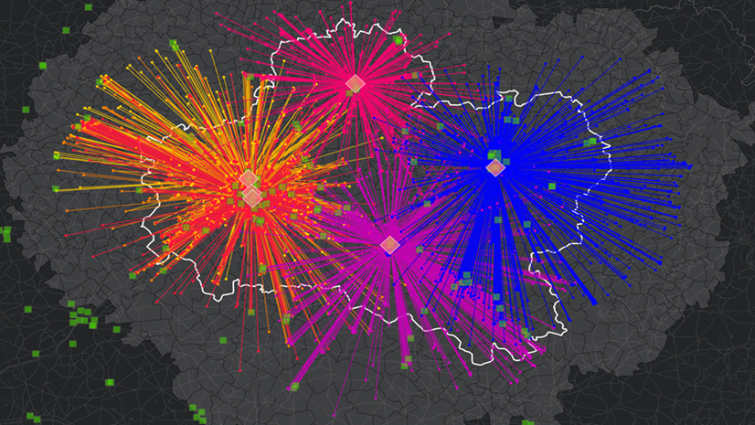
Spinning the Wheels on Air Quality – A Geographic Approach to Address Air Quality
Spinning the Wheels on Air Quality: A Geographic Approach to Address Air Quality

Takeaways from the National Association of Environmental Professionals Conference
Get the latest from Sunny Flemming's time at the National Association of Environmental Professionals (NAEP) Conference and Training Symposium.

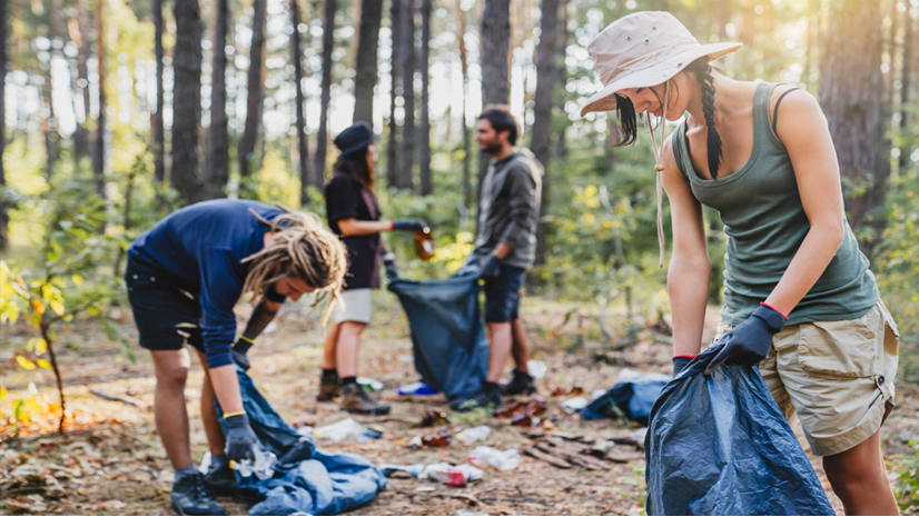
Small Actions, Big Impacts: Earth Day 2022
There are reminders everywhere of the climate challenges our global community faces. This Earth Day, see how you can be part of the solution.

Infrastructure on the Half Shell: Federal Funding for Oyster Stew
The coastlines provide the ingredients for delicious recipes and they protect us from flooding and coastal erosion. GIS can help preserve them.

How GIS Can Help Our Wildlife on World Wildlife Day
Explore how we can use GIS to take meaningful action to both understand and protect our wildlife and the world we all depend on.

Shifting to a Greener Future in Coal Country
GIS helps states identify opportunities for greener energy production and demonstrate how they can target funding from the Infrastructure Bill.

The Infrastructure Bill’s Impacts on Environmental Professionals
Nearly every project that the Infrastructure Bill will fund will require people to make decisions about environmental impacts. GIS can help.