Most recent
FCC’s New Rules Propel Next-Generation 911 Forward:What This Means for GIS
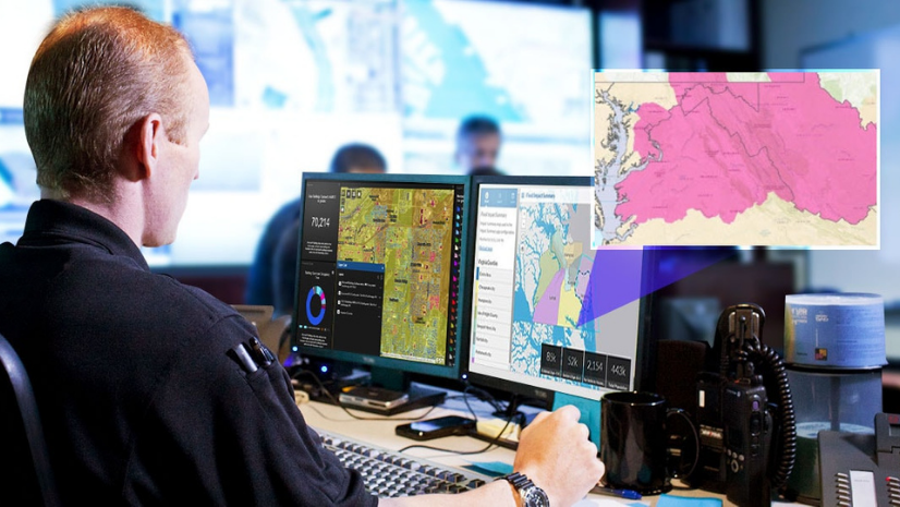
The FCC has adopted rules that will improve emergency response through NG911. Learn how these rules will impact GIS for public safety.
Most recent
The FCC has adopted rules that will improve emergency response through NG911. Learn how these rules will impact GIS for public safety.