
Most recent
City of Pomona Modernizes NPDES Reporting Compliance with GIS
Miranda McBride |
The City of Pomona uses ArcGIS to streamline NPDES compliance, improve stormwater inspections, increase data accuracy, and accelerate reporting.

AEC Firms Commit to Deliver Process Improvements and Technical Excellence
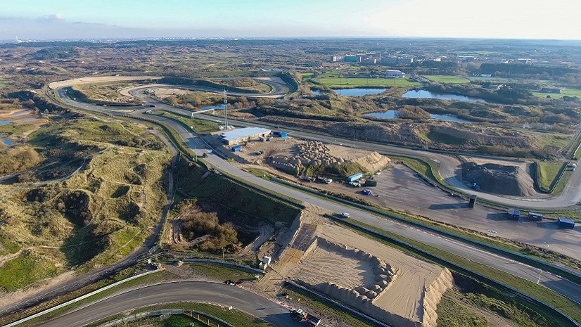
VolkerWessels Integrates BIM and GIS into All Infrastructure Projects

Ricklyn Hukriede|
Q&A with USGIF Golden Ticket Winner- Hannah Shumway

Multiple Authors|
Esri Student Poster Competition Prepares Budding Geospatial Professionals at Los Angeles Geospatial Summit

Thoughts on the 2022 National Planning Conference

No More Map Layouts: Programming, Developer Ops, and Cloud Computing Skills Will Get GIS Students Jobs

Small Actions, Big Impacts: Earth Day 2022
Esri and Our Partners, Working Together for Customer Success

Terry Bills|
Metaphors Matter – Data Integration and Management

Multiple Authors|
Crime Analysis with ArcGIS Pro Video Blog Series: Part 5—Basic Hot Spot Analysis

Location Analytics Expands at Arizona State University