Most recent
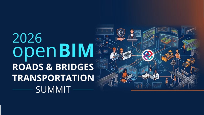
Building Momentum for GIS + openBIM: What We Heard at the buildingSMART US Roads and Bridges Event
Recap from buildingSMART US Roads & Bridges: how GIS and openBIM together power connected digital delivery for transportation infrastructure.

Leveraging Site Suitability Analysis to Validate Policy

Public Safety Team|
Incident Management and Disaster Preparedness Webinar Series
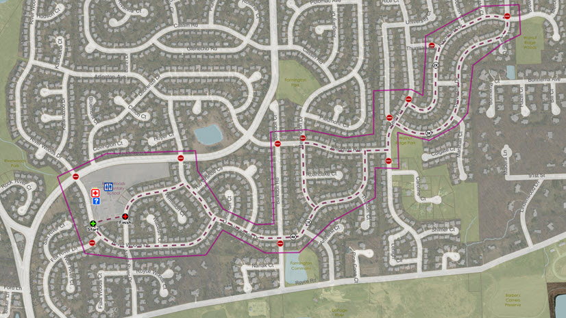
Web Applications for the PSAP

Terry Bills| February 5, 2021
The Value of A System of Engagement for DOTs

Multiple Authors|
Advancing Utility Apps with ArcGIS Platform Location Services
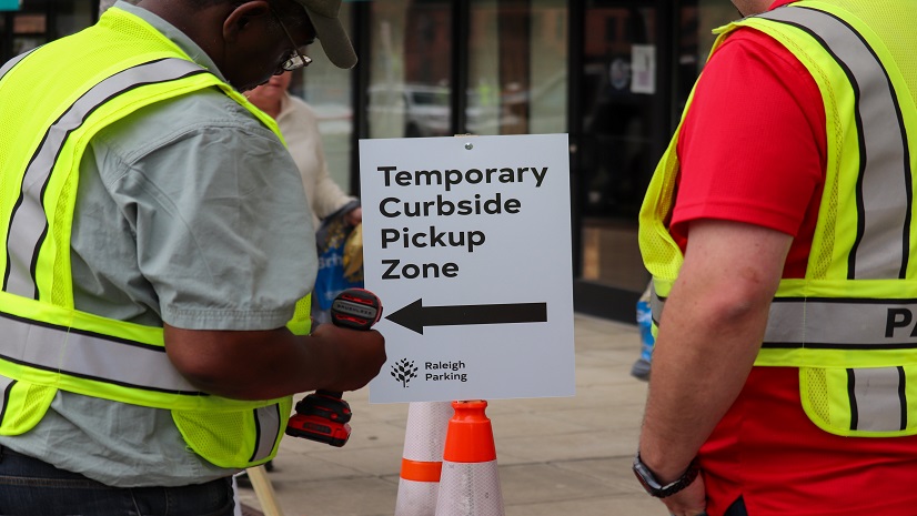
Three Tools Every Planner Needs to Use During COVID-19

Patrick Huls|
The Slow and Steady Rise of Location Services

GIS for 9-1-1, An Enterprise Approach: What's Your Schema?

Successful Retailers Find Location Intelligence is Critical to their Business

A Strong Foundation for GIS – What It Means for Planning Professionals

Community-Based Learning in the Age of COVID: University of Wisconsin-Madison’s Fond Du Lac and North Area Planning Study