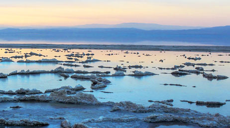
California eyes sea of opportunity for EVs
California mining and other companies could develop lithium reserves into lithium-ion batteries, which are central to a net-zero carbon future.
Explore resources for mining companies, connect with industry experts, and expand your network
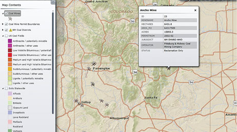
The New Mexico Energy, Minerals and Natural Resources Department's Mining and Minerals Division uses GIS to enforce reclamation regulations.
Explore topical mining articles and customer success stories that aim to inspire, motivate, and inform while enabling all members of our mining community to remain in step with enhanced industry standards.
California eyes sea of opportunity for EVs
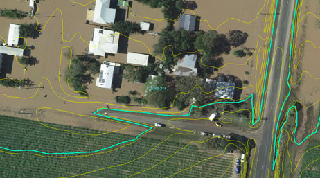
Responding to catastrophes in Queensland
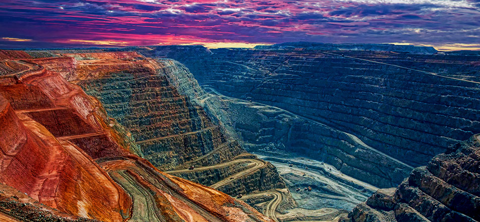
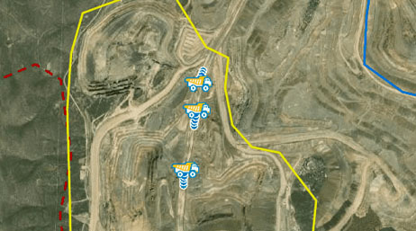
Responsibly and efficiently operating mines
Managing mining—Exploration to reclamation
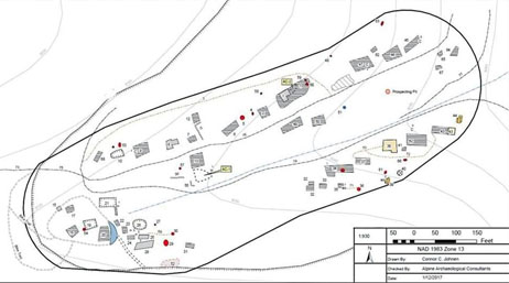
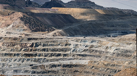
3D Elevation Models Bring Mining History to Life

Seeking the gold standard for sustainable mining

Newmont Corporation Adopts Site Scan for ArcGIS
Building a web mapping platform
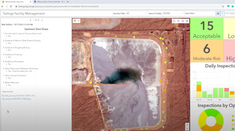
Geospatial Strategies for TSF Management
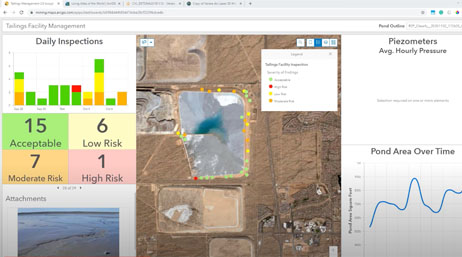
Geospatial Strategies for TSF Management II
Join the geospatial conversation, ask your questions, or browse the forums.

Esri User Conference | July 14–18, 2025 | San Diego Convention Center | San Diego, California

Instructor-led and self-paced options help individuals apply best practices and quickly learn ArcGIS software. Esri training consultants provide complimentary planning services to identify options that will best meet an organization's immediate, short-term, and long-term workforce training needs.