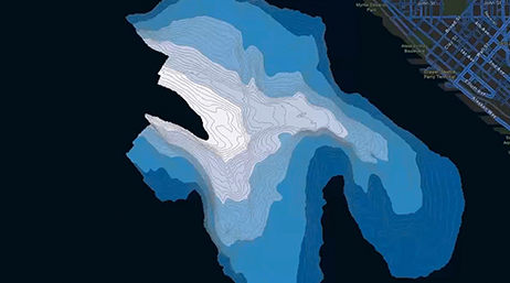
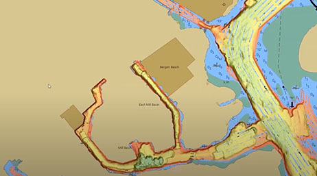
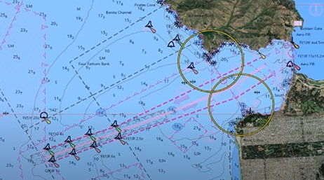
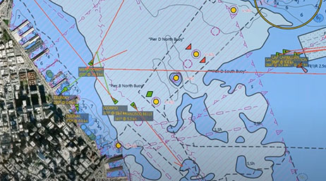
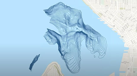
Automated Bathymetry for Nautical Charting
National maritime
Learn how to leverage tools in ArcGIS Pro to automate the generation of bathymetric features for use in navigational charts.

Discover new insights, innovative best practices, and the latest advances in GIS technology.

| Date | Event | Location |
|---|---|---|
| February 10-11, 2026 | Esri FedGIS | Washington, DC |
| July 13-17, 2026 | Esri User Conference | San Diego, California |
| Date | Event | Location |
|---|---|---|
| January 12–15, 2026 | HYPACK 2026 | New Orleans, Louisiana |
| April 19–23, 2026 | IHO 4th Session of the Assembly (A-4) | Monaco, Monaco |
| April 27–30, 2026 | Canadian Hydrographic Conference 2026 | Montreal, Quebec |
Automated Bathymetry for Nautical Charting
National maritime

Automated Workflows & Machine Learning Techniques
National maritime
Hydrospatial Infrastructures: The New MSDI
National maritime
Integrated Hydrospatial Workflow
National maritime
What's New in ArcGIS Maritime
National maritime
Hydrographic Applications of AI and DL
National Mapping
MSDI and Hydrospatial Infrastructure
National maritime
ArcGIS for Maritime
National maritime
Maritime Modernization
National maritime
| Date | Event | Location |
|---|---|---|
| Ongoing | National Government webinar series | Virtual |
| Date | Event | Location |
|---|---|---|
| Ongoing | National Mapping webinars and events | Virtual |
| Date | Event | Location |
|---|---|---|
| Ongoing | National Aviation webinars and events | Virtual |