Skip to Content

Remote Sensing

Leverage ocean and coastal information

A white, blue, and beige map with numbers marking it and enclosed in a square, with a small square image of a ship overlapping it

Data challenges of the marine environment

Hydrographic survey and remote sensing of the marine environment provide a rich source of data for making decisions about a nation's territorial waters. Data collected from a variety of sensor platforms over large geographic areas creates large and varied datasets that can be challenging to manage. To overcome data management challenges, hydrographic offices around the globe are turning to GIS to efficiently organize and provide timely access to marine data that strengthens the decision-making process.

Geoenable maritime environment data

Maritime data management

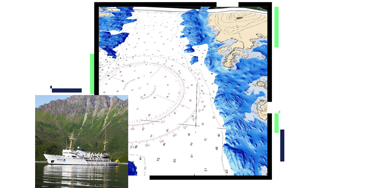
Manage and understand your maritime data. ArcGIS Maritime allows you to easily manage, combine, and query massive amounts of bathymetric, aerial, and coastal data, on the desktop or on the web. Knowing the source of your data is everything—which sensor your bathymetry or aerial data came from, when it was collected, and how it was processed. ArcGIS software provides a scalable data management platform for any organization, so you can trace your data and know exactly where it originated.

A data center room filled with database servers

More than navigational information

Use remotely sensed data beyond charting for better decisions on offshore energy, port security, hydrographic services, dredging operations, scientific analysis, and more. ArcGIS gives you the ability to effectively create your spatial data to make better decisions about marine spatial planning, protected areas, border protections, naval operations, coastal management, infrastructure investment, storm surge modeling, and emergency planning. Use ArcGIS to

  • Accelerate production of bathymetric and imagery-derived products.
  • Share bathymetric and imagery data.
  • Create and manage multiresolution surfaces.
A monitor displaying a green map with purple outlines

Visualization and analysis

Get a comprehensive view of your bathymetric data assets in 2D or 3D to help accelerate understanding and gain new insights. ArcGIS facilitates and simplifies spatial analysis using GeoAI models, change detection and feature extraction, multiresolution surfaces, point clouds, and 3D meshes from various remote-sensing sources. With ArcGIS, hydrographic organizations will be able to reduce data redundancy by utilizing mosaic datasets and web services while reducing storage requirements. Customize metadata to meet your needs and ease data discovery.

A monitor displaying a colorful 3D map of elevated land

REMOTE SENSING AND GEOAI

Hydrographic Applications of GeoAI

Webinar on artificial intelligence and deep learning in ArcGIS covering automated machine-based object detection using convolutional neural networks

Remote-sensing products and solutions

Previous
Next

National maritime and hydrography strategies

Previous
Next

Contact us to get started

Connect with the Esri national maritime team