Skip to Content

Communicate Your Cause

Two people framing a structure, a map of New York City

Take a geographic approach to outreach

Compelling map-based data visualizations and analysis provide powerful ways to deepen support for your mission. Immersive storytelling stands out and uniquely communicates why you are concerned, what happens if people don’t act, and where there are opportunities to intervene. Use GIS technology to elevate communication strategies and rally passionate changemakers.

Build community with location-based insights

Find community advocates to build momentum

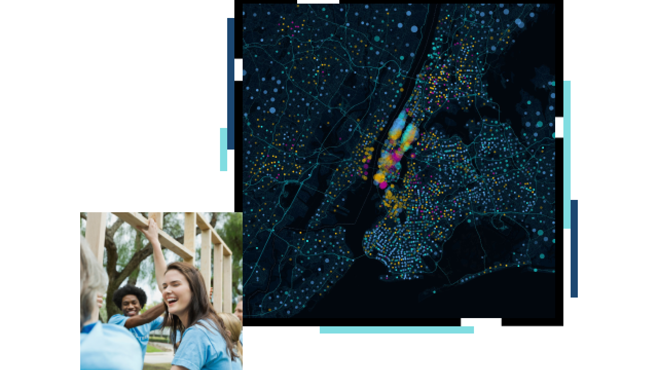
The demographic characteristics across communities are widely diverse. ArcGIS software provides apps and data that help nonprofit staff identify where people have interests that align with an organization’s mission and are likely to support it. Rich data analysis informs effective outreach across communities to drive engagement.

Demographic profile of an area in Southern California

Pair volunteers with opportunities to serve

Use the maps and apps in ArcGIS to show volunteers where people need their support and establish a genuine partnership between the public and planning professionals.

Volunteer progress along the California coast

Compel supporters to make a difference

The visual storytelling in maps clearly conveys the need for change and amplifies calls to support your mission to more community stakeholders.

People holding a sign that says “Take Action Now”

Relate your mission to community stakeholders

Use a geographic approach to put a nonprofit’s mission in the context of where people work, live, and play. Stakeholders can quickly see what needs to be done where and implement necessary actions.

Redistricting map from the Dolores Huerta Foundation

Monitor areas where intervention is needed

Nonprofit organizations and volunteers must effectively oversee services and programs. The maps and spatial analysis in ArcGIS provide volunteers with powerful tools to monitor progress and measure impact. Host program performance metrics in GIS dashboards to share complex information with volunteers and stakeholders in a way that’s easy to understand at a glance.

People meeting at a conference table

CASE STUDY

Milwaukee nonprofits address education access

Two nonprofit organizations raised public awareness, highlighted gaps in equity, and advocated for equitable early childhood education in Wisconsin.

Read the case study

Products

Previous
Next

Esri Nonprofit Organization Program

The Esri Nonprofit Organization Program provides nonprofit organizations with low-cost access to GIS software, training, content, and other resources. Join a vibrant community of nonprofits around the globe working to create a better world.

Explore program details

Connect with the Esri nonprofit and NGO team