
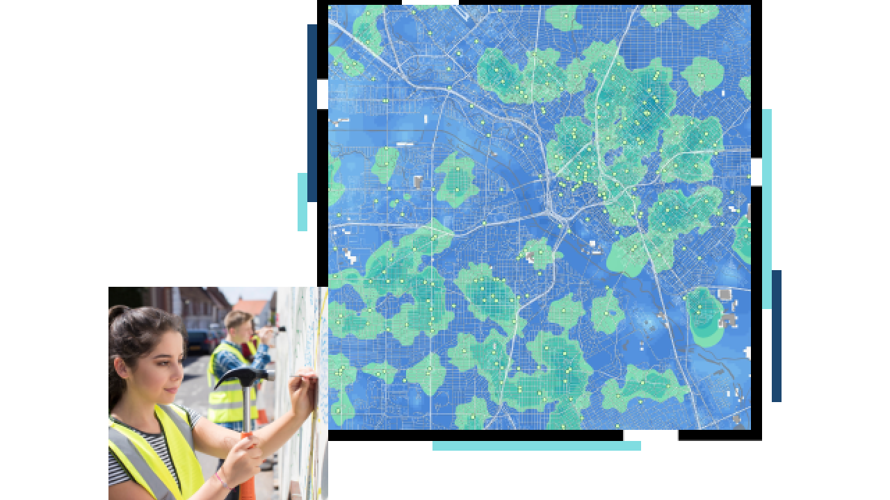
Use data and maps to drive advocacy
Data-rich maps help policymakers, decision-makers, and other stakeholders understand complex information that often gets lost in lengthy annual reports. ArcGIS serves as an analytics tool for big datasets, showing stakeholders what needs to be done where so they can make informed decisions and take necessary actions.


