Data management
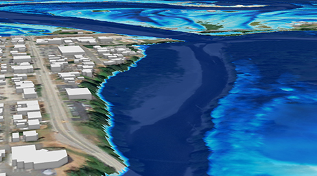
Create raster and vector GIS representations of the landscape and built environments for water resource analyses.

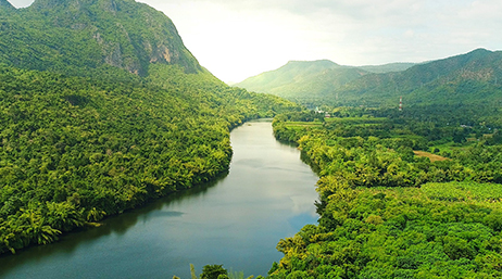
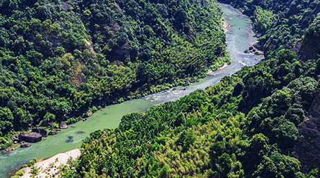
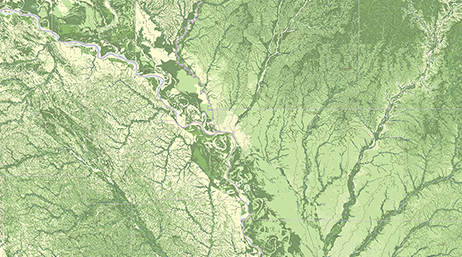
GIS for water resources

Downloading and Installing Arc Hydro Tools
Arc Hydro: Resources and Documentation
Getting Started with Arc Hydro

Esri Community: Water resources and Arc Hydro

Arc Hydro: Transitioning from ArcMap to ArcGIS Pro
Arc Hydro: Project Development Best Practices

ArcGIS Pro project startup best practices
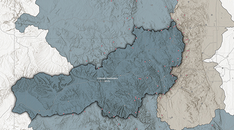
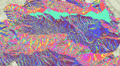
Overview of terrain preprocessing workflows
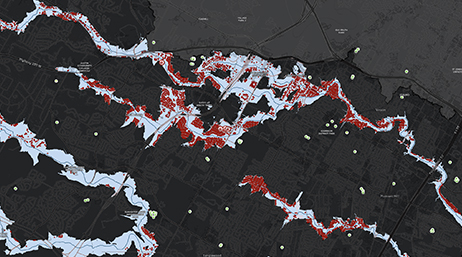
Explore innovative features for simulating floods within ArcGIS Pro, including theoretical and engineering aspects, the new simulation layer, use cases, and future enhancements.
Discover hydrologic and hydraulic capabilities in ArcGIS Pro. Industry experts share recent tools and workflows, including the use of artificial intelligence and machine learning.
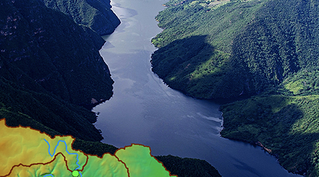
Learn from Esri hydro experts in our webinar series on Arc Hydro, its principles, and its use in water resources, including watershed and floodplain characterization and modeling as well as hydrologic and hydraulic modeling.
Access this webinar series to learn about what Arc Hydro is and explore its capabilities. Our water resource experts will also present the approaches of learning Arc Hydro (instructor led and self-paced no cost learning option).