Applying the Science of Where to Meteorology
Leverage the power of data science and spatial analysis on-demand and at scale
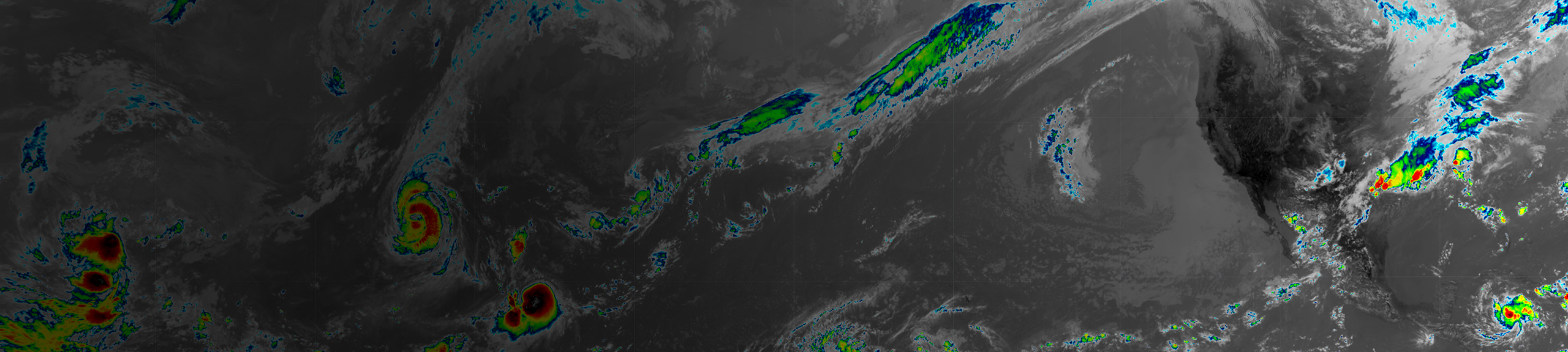
Meteorological data and information products protect lives and property, drive economic growth, and support decision-making. With ArcGIS, you can map and predict temperature and precipitation changes over time, monitor stationary sensors, disseminate information securely, and better respond in real-time. Automatically update maps and databases and send alerts to your stakeholders when thresholds are met. Provide access to streaming curated atmospheric data sets. Make better decisions the moment something happens.
Learn
Use weather and data to make predictions, see trends, interpolate surfaces, perform analysis, and downscale climate data.
Connect
Join the Esri Community to connect, collaborate, and share experiences with partners, staff and Esri customers.
Identify
AT&T uses GIS to track decades of climate risks. See how GIS is used to visualize how climate impacts business in the future.
Understand
Create more informative forecast products and services with GIS.
Want to get news and updates on GIS technology for meteorologists?
Sign-up for our newsletter.