Access weather data collections
Securely provide access to streaming curated atmospheric datasets with ArcGIS. Automatically update weather maps and databases and better respond with real-time alerts.


Facilitate optimal weather-driven decisions with GIS
Securely provide access to streaming curated atmospheric datasets with ArcGIS. Automatically update weather maps and databases and better respond with real-time alerts.
Meteorologists use GIS to better understand weather scenarios with 3D dynamic maps, time series simulations, and real-time interactive dashboards that enhance visualization to uncover patterns.

Integrate out-of-the-box modeling environments with open-source spatial algorithms, data libraries, and programming languages. Enrich research with ready-to-analyze and streaming weather data sources.


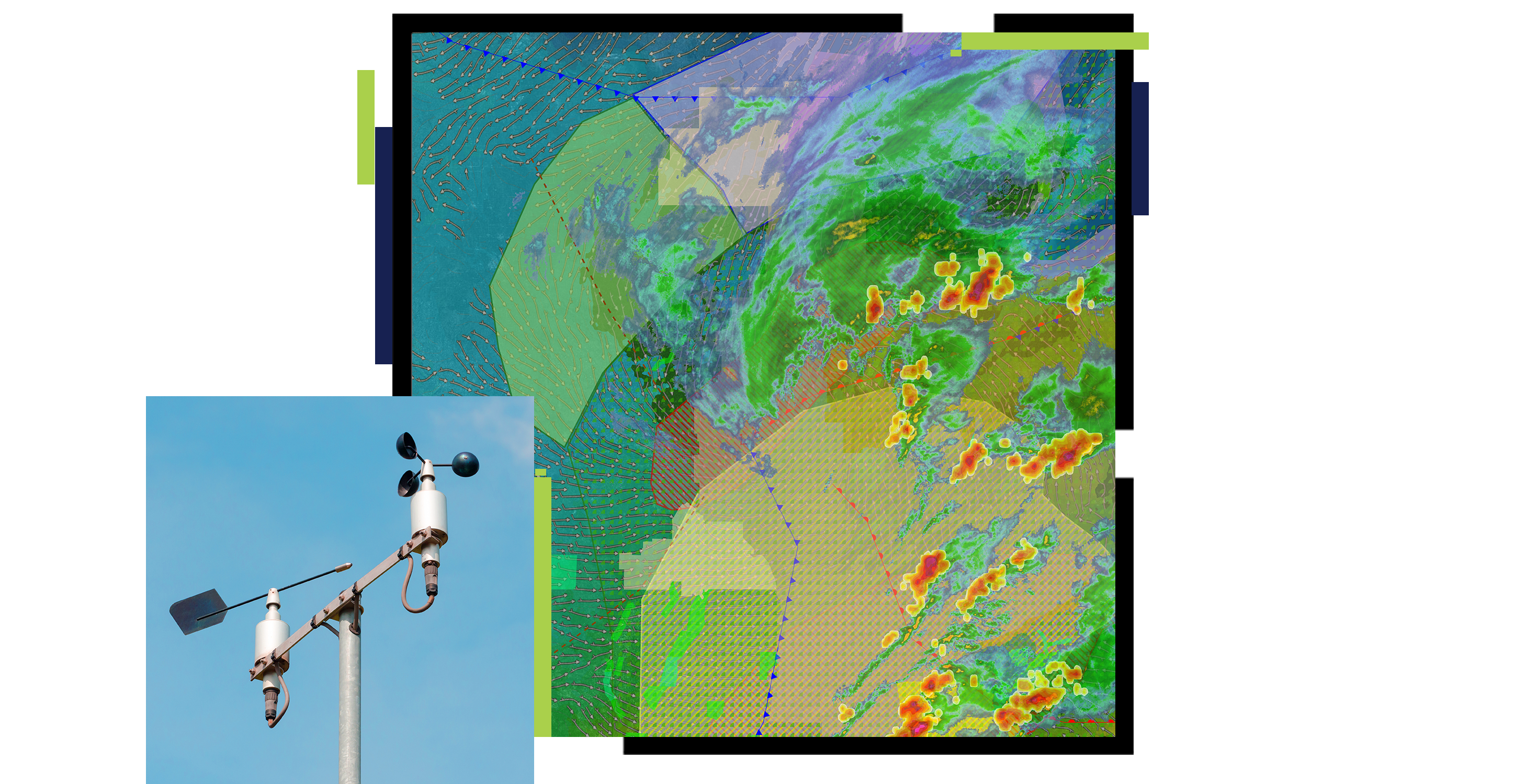
Discover real-time weather data, make predictions, and interpolate surfaces. Use comprehensive current and streaming real-time weather data for more accurate weather predictions.

Easily access weather information across systems, and quickly share results and research with colleagues using a built-in collaborative framework.

Leverage a robust framework for iterative weather event planning scenarios informed by predictive modeling and endorsed through stakeholder engagement to support optimal outcomes.

These collections of products and solutions will help kick-start your weather research with improved data organization, analysis, and sharing.
Access severe weather data live feeds, technology, and resources
Get geospatial resources for forecasting, preparedness, and adaptation.
Better understand the spatial behaviors of fires, floods, and other natural hazards.
Speak with a representative.