The Atlas of Sustainable Egyptian Cities geoportal, using GIS, has transformed how the MLD manages urban planning and development. By centralizing and analyzing data, the geoportal ensures accuracy and consistency, which is crucial for tracking urban development, environmental sustainability, and quality of life. Decision-makers use interactive maps and dashboards to gain insights and make informed choices, making the ministry’s operations more efficient and accurate. This system helps address issues like climate change, infrastructure stress, and urban resilience, contributing to long-term sustainability.
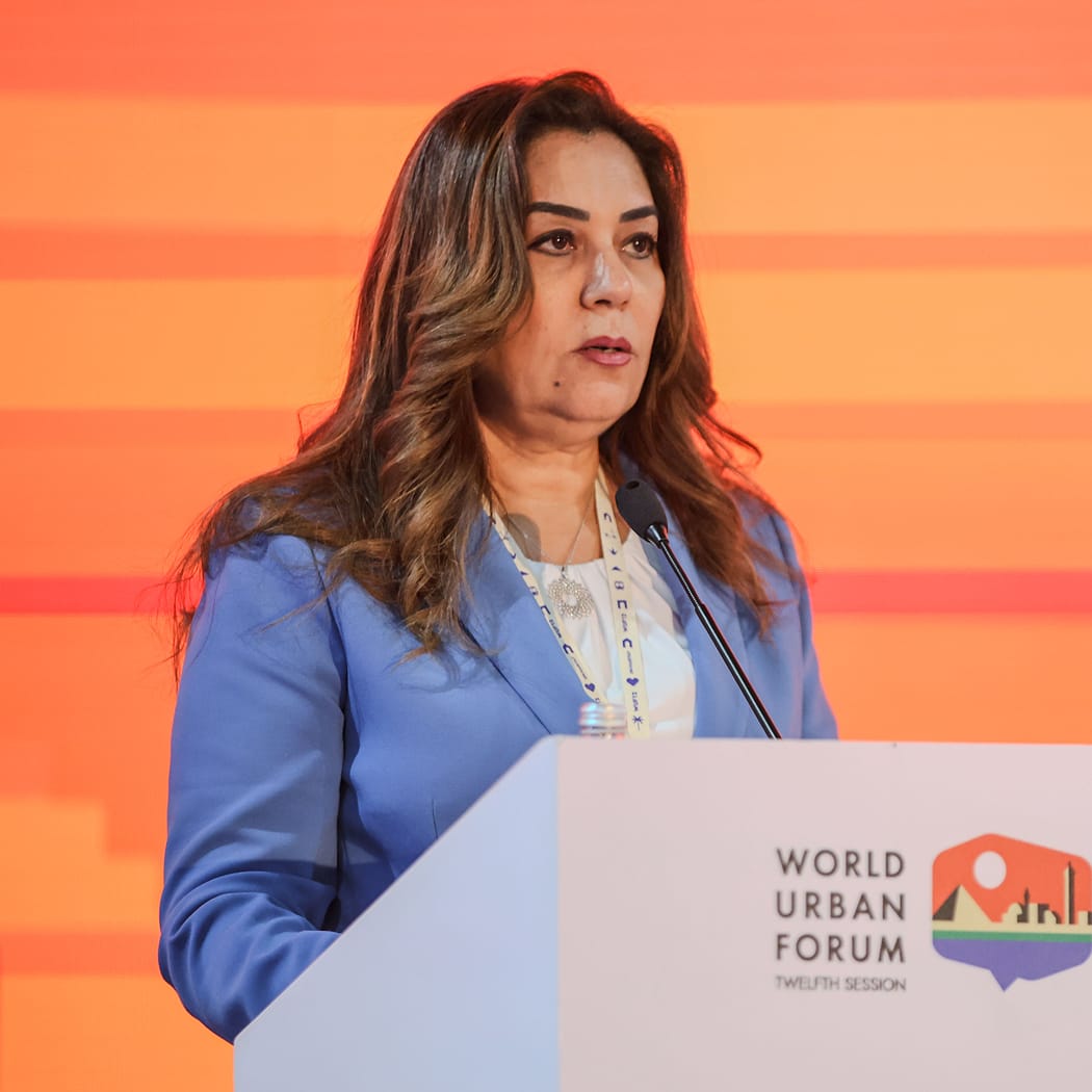
“The Atlas of Sustainable Egyptian Cities is a collaborative effort that strengthens national capacities and links economic, social, and environmental aspects,” said Dr. Yasmine Fouad, minister of local environment. “It highlights Egypt’s commitment to sustainable urban development and climate resilience, with a focus on governance and the balanced use of natural resources.”
The geoportal serves multiple purposes:
- Detailed analysis—It provides a comprehensive view of the economic, social, and environmental status of urban areas, helping identify challenges and guide strategic decisions.
- Environmental monitoring—It tracks environmental changes and their impacts on urban areas, supporting climate adaptation strategies.
- Development prioritization—It sets clear developmental priorities and tracks progress toward urban sustainability.
- Comparative analysis—It allows for the comparison of cities to assess urban, social, and economic sustainability trends, fostering data-driven competition and accountability among local administrations.
The geoportal has also improved collaboration by enhancing coordination between the MLD, local administrative units, other relevant ministries, and international partners like the World Bank Group. It offers interactive tools for exploring data and giving feedback, which has been crucial in developing new policies and programs and speeding up data collection, mapping, and evaluation.
“The atlas showcases Egypt’s commitment to sustainable urban development and climate resilience. This initiative builds on the Sustainable Egyptian Cities Initiative, which emphasizes collaborative governance,” said Stephane Guimber, country director for Egypt, Yemen, Djibouti, the Middle East, and North Africa at World Bank.
Looking to the future, the MLD plans to extend the geoportal to all governorates, use GIS tools to monitor and evaluate projects, track development progress, and ensure fair distribution of services. MLD staff will establish systems for project follow-up, impact evaluation, and resource management to improve efficiency and accountability.
The MLD will work with the Ministries of Housing, Environment, and Planning to regularly update the data. MLD staff also plan to partner with development agencies like the World Bank to replicate successful climate adaptation efforts in other regions and support local climate-change mitigation strategies. Overall, the Atlas of Sustainable Egyptian Cities is a vital tool for sustainable urban planning and development, enhancing governance and the balanced use of natural resources.
