Explore how Esri’s products can enhance operations through collaboration and engagement.Watch real-world use cases through demonstrations to understand how leveraging these tools can help solve your organization’s challenges.
What you’ll learn in this series
Leverage Esri products, like Hub, for engagement with the public
Integration between GIS and drones to streamline operations, improve task management, and enhance decision-making
Explore the strategies, governance, technologies, and best practices for enhancing cross-jurisdictional data sharing, collaboration, and integration
Explore webinars in this series
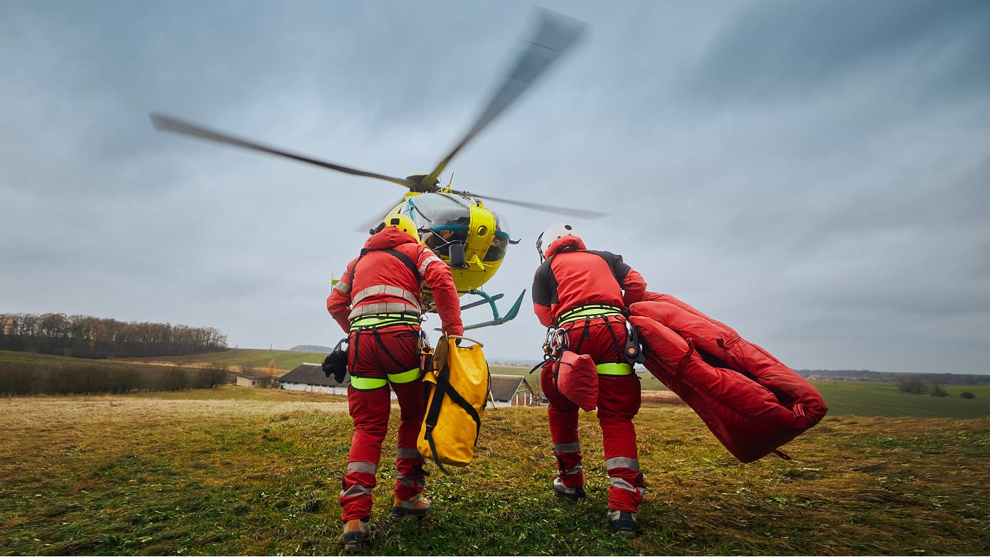
Leveraging GIS for Multiagency Response to Significant Incidents
In part one of the series, learn how GIS strengthens engagement and collaboration for better responses to critical incidents.
Learn about this webinar
Improving Response Coordination and Situational Overview with GIS and UAVs
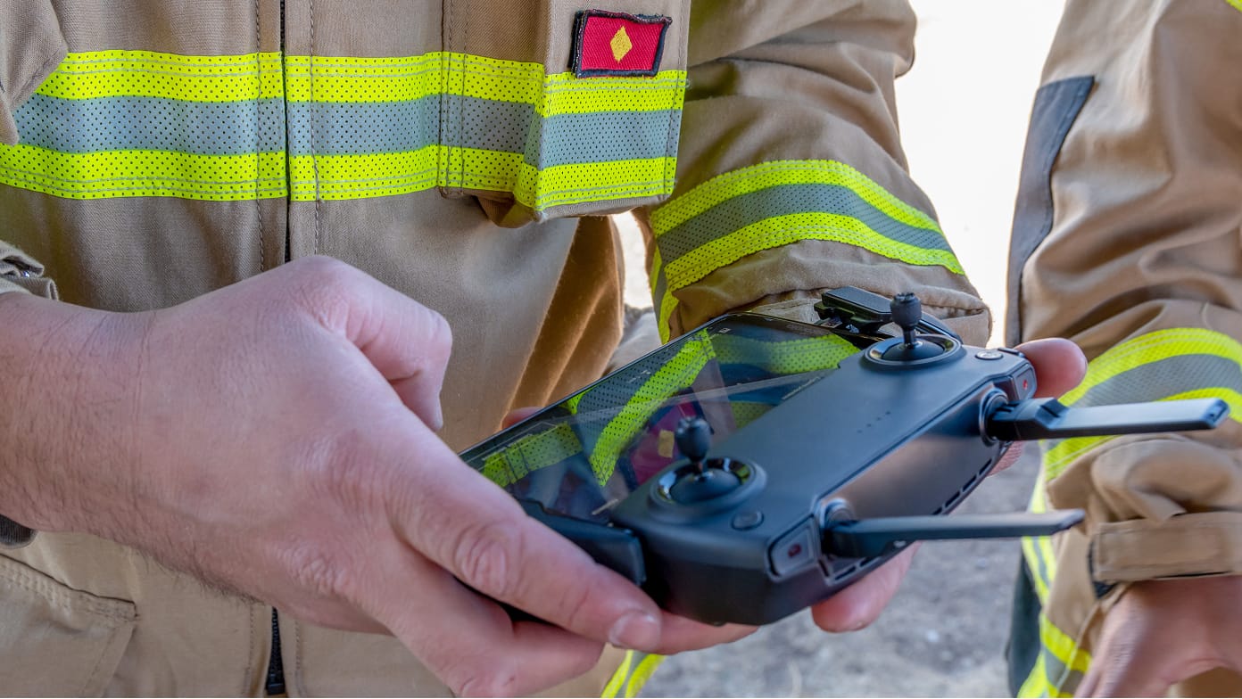
In part two of the series, see firsthand how organizations are using GIS and drones to become more efficient.
Learn about this webinar
Regional and Cross-Jurisdictional Collaboration: Unlocking the Power of Spatial Data Integration
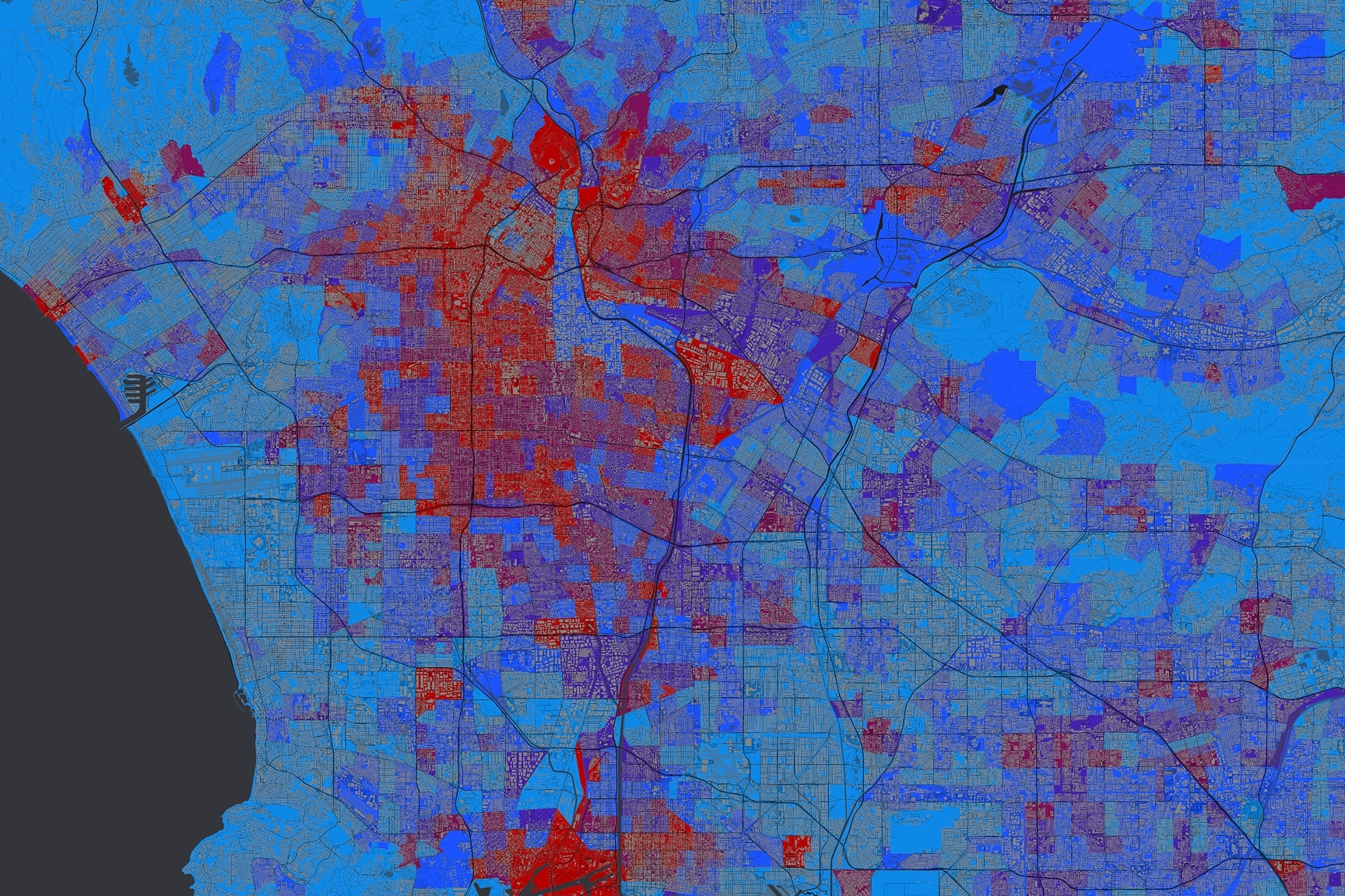
In part three of the series, discover how GIS has become a vital component for effective decision-making and planning across regions and jurisdictions, particularly in disaster management scenarios.