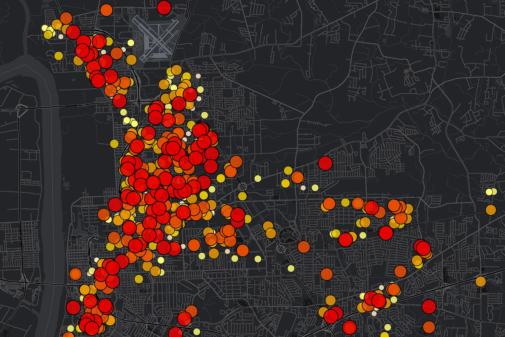
See how Fairfax County Fire and Rescue’s GIS team turned an emergency situation into a shared, authoritative operating picture. Learn how field maps, dashboards, rapid data capture, and drone/3D mapping supported a 12-day, 375-unit response.
Presenters
Chip Galloway
GIS Analyst, Fairfax County Fire and Rescue
John C. Morrison
Data Analytics Strategy Manager, Fairfax County Fire and Rescue
Mike Cox
Director of Fire, Rescue, and EMS Solutions, Esri
Gert Van Maren
Principal Technical Product Manager - 3D, Esri
Previous
Next
What you'll learn in this webinar
Sustained Operations: Replacing fragmented ad hoc incident mapping with a single, real-time source of truth that reduces incident command overhead
RiskMitigation: Eliminating costly coordination failures caused by conflicting technology and information across agencies
OperationalEfficiency: Reducing effort duplication and resource allocation delays that cost time and money during critical windows
AdvancedSituational Awareness: Adopting drone imagery and 3D mapping products to enhance situational awareness, documentation, and cross-agency collaboration