
Esri San Antonio Micro-Region September Event
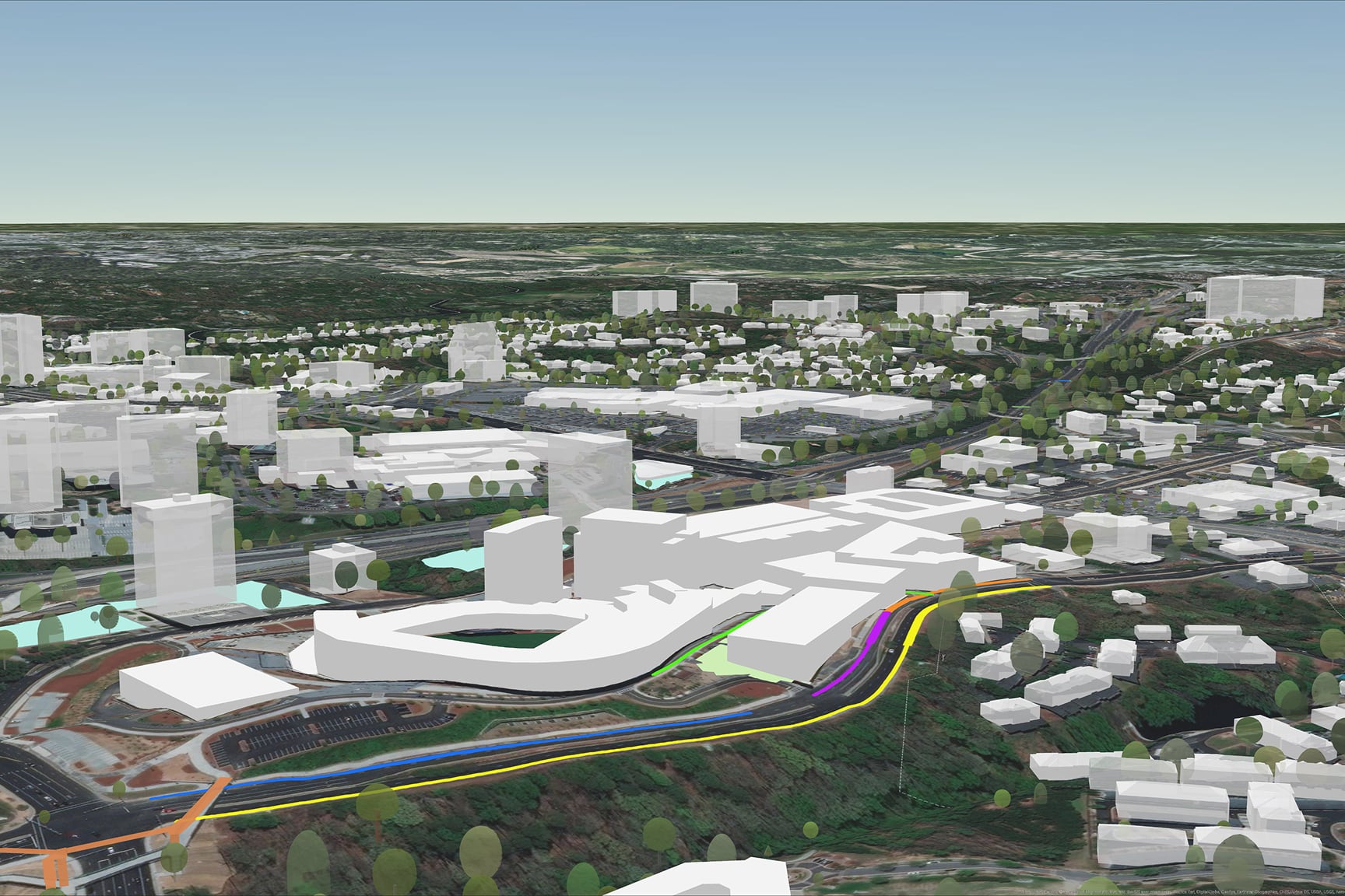
Bridging reality and the digital world with precise mapping and analysis in ArcGIS
On-demand webinar
Resources
Previous
Next
Esri San Antonio Micro-Region September Event
On-demand webinar