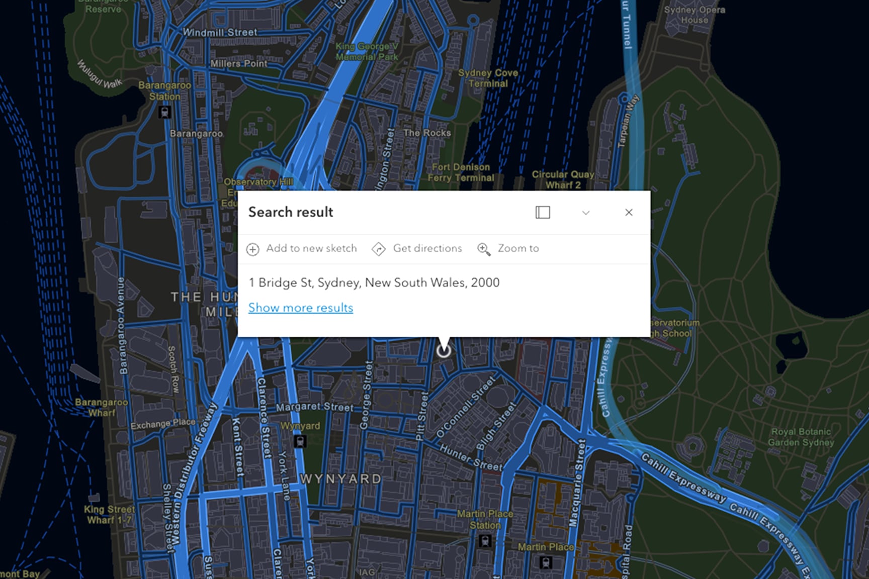
Visualize and Validate Your Address Data with ArcGIS Geocoding
Enrich your data with authoritative global reference datasets to improve context and reliability. Whether powering mapping applications, analytics, or operational systems, ArcGIS Geocoding helps organizations make faster, more informed location-based decisions.
Speakers
Robert Jensen
Senior Product Manager, Esri
Previous
Next
What you'll learn in this webinar
Enhance your solutions for quicker results with capabilities like suggestions, reverse, and batch geocoding
Scale your workflows with batch processing and flexible deployment options that support enterprise and developer needs alike
Enrich your data with authoritative global reference datasets to improve context and reliability
Explore other webinars in this series
Strengthen Your Decision-Making with Esri Demographics
Spend less time prepping data and more time making decisions. Explore global demographic data and socioeconomic information.
Supporting Global Decisions with Reliable Parcel Data
Expanding into global markets requires more than country boundaries. Learn how standardized international parcel data can support site selection, infrastructure planning, utilities, insurance, telecommunications, and other cross-border workflows.