
Lauri Young
Esri, Senior Product Manager

Webinar 3 of 3
November 19, 2026 | 10:00 AM–11:00 AM (PT)
Part of the ArcGIS Data webinar series

Esri, Senior Product Manager

Regrid Chief Revenue Officer

Spend less time prepping data and more time making decisions. Explore global demographic data and socioeconomic information.
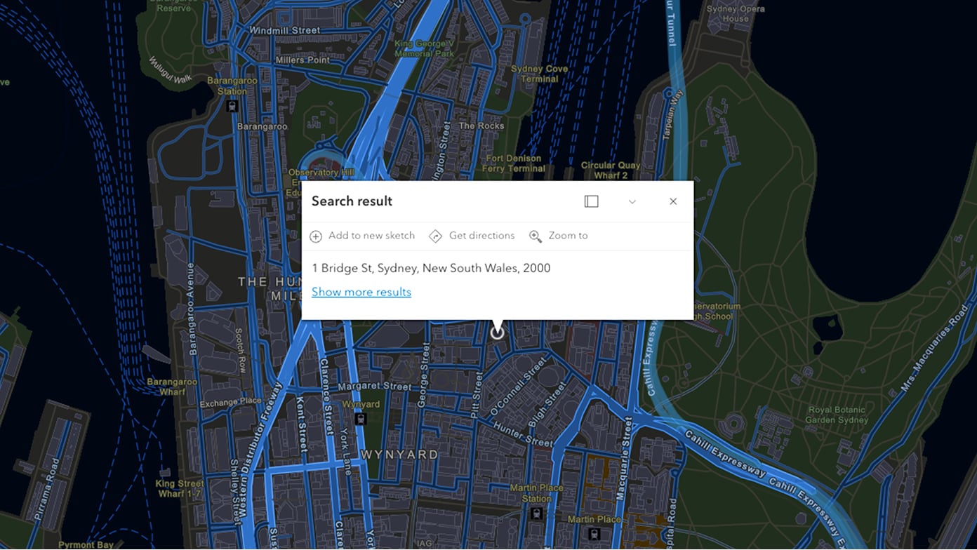
Map location information by converting your addresses and places into coordinates that you can display on a map. Esri's geocoding leverages address validation, verification, and standardization processes that ensure the most accurate results.
Submitting this form registers you for all webinars in this series.