High-quality, trusted demographic and socioeconomic data from Esri
Learn how to leverage the latest demographic data from Esri in common ArcGIS workflows. Join this webinar to explore urbanicity types, neighborhood boundaries, school enrollment data, and geodemographic embeddings.
Presenters
Lucy Guerra
Principal Product Manager, Esri
Previous
Next
What you'll learn in this webinar
Urbanicity Type classification system that categorizes every US census block into one of 10 categories, offering a better understanding of urbanization in specific areas
Neighborhood data to explore areas using familiar place-names and local contextÂ
School enrollment variables with expanded age by income intervals
Map Addresses and Place-Names with ArcGIS Geocoding
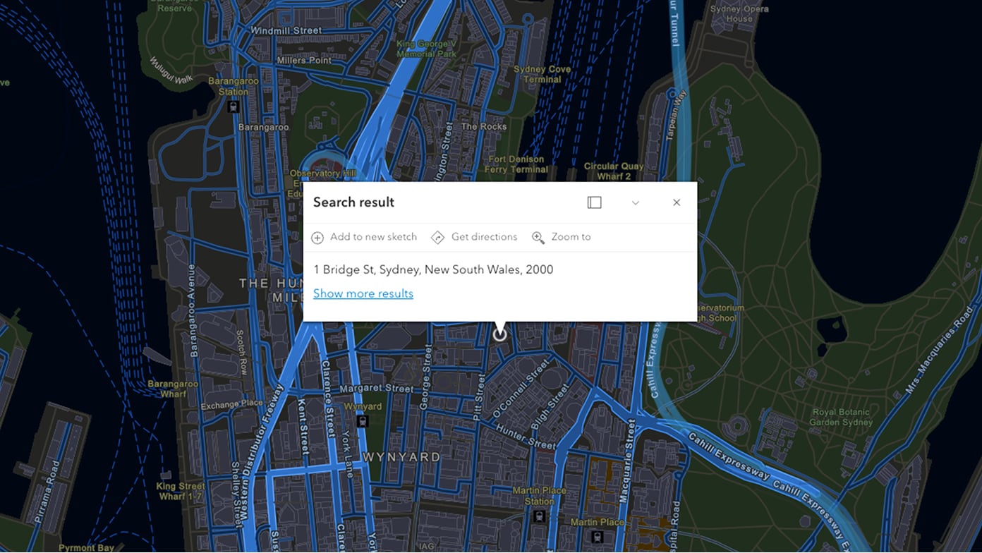
Map location information by converting your addresses and places into coordinates that you can display on a map. Esri's geocoding leverages address validation, verification, and standardization processes that ensure the most accurate results.
Supporting Global Decisions with Reliable Parcel Data
Expanding into global markets requires more than country boundaries. Learn how standardized international parcel data can support site selection, infrastructure planning, utilities, insurance, telecommunications, and other cross-border workflows.