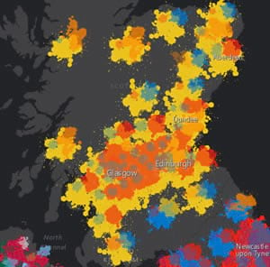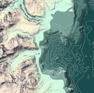
Once, only cartographers made maps. Today, anyone can. Still, cartographers can teach people to make better maps, just as professional chefs can show people how to cook better meals.
That’s why a team of experienced cartographers, led by Esri’s Ken Field, will teach Cartography., a free, six-week massive open online course (MOOC) that Esri will host beginning April, 18, 2018. With coaching from Field and other Esri cartographers, as well as practical, hands-on exercises using ArcGIS Pro, you will learn cartographic techniques that will make you a more savvy mapmaker, ready to go beyond the typical workflows and defaults.
“Cartography as a discipline and a profession has much to offer,” Field said. “Learning a little about how a cartographer thinks about mapmaking will help you make better maps.”

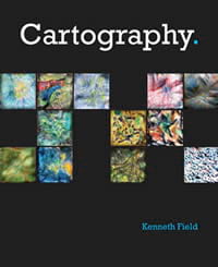
Cartography. will be Esri’s fifth MOOC. The course will coincide with the release of Field’s new book, Cartography., to be published by Esri.
The Cartography. MOOC will be offered twice in 2018. Each weekly lesson will focus on the creation of one exemplary map that draws together key cartographic ideas. Lessons will consist of about two hours of content, including video discussions, guided and self-guided exercises using ArcGIS Pro and ArcGIS Online, quizzes, interactions between students and instructors, and supplemental resources. Students who engage all course contents will receive a certificate of completion and a discount code to purchase Cartography. should they wish to learn more.
More than 10,000 students worldwide are expected to register for the first Cartography. MOOC in the spring. To sign up, visit the Cartography. page on Esri’s MOOC Program website.
The Cartography. MOOC joins four other Esri MOOCs: Going Places with Spatial Analysis, The Location Advantage, Do-It-Yourself Geo Apps, and Earth Imagery at Work. Together these MOOCs have attracted 105,000 enrollments since 2014. Twenty-five percent of students complete all their course content, a rate that’s much higher than other MOOC providers. Nearly a quarter of the students are new to Esri technology.
“Students in Esri’s first MOOC, Going Places with Spatial Analysis, love Ken’s guest lecture on cartography. We’re confident they’ll love the new MOOC that he and his team have put together,” said MOOC program manager Adena Schutzberg.
The MOOC program is just one facet of Esri’s commitment to education. The company supports thousands of K–12 schools with software, curriculum solutions, teacher professional development, and GeoMentors. A quarter of a million college and university students use ArcGIS every year. Students and GIS professionals alike benefit from instructor-led and e-Learning courses and seminars offered by Esri Training, self-study exercises available at Learn ArcGIS, and books published by Esri Press.
MOOCs offer an easy and fun way to discover the power of modern GIS. Anyone—from cartographers who want to test-drive ArcGIS Pro to those new to GIS who want to explore the discipline—can find an Esri MOOC to meet their needs and goals.
