
Do you want to learn about innovative design solutions that will help create more livable and sustainable communities? Then the Geodesign Summit is for you.
Professionals who work in design, landscape architecture, and geospatial technology will give inspiring lectures and hands-on workshops on design and GIS at the two-day summit next January in Redlands, California.
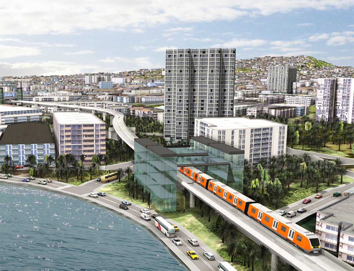
Geodesign blends science, technology, and design. It’s an iterative design process that uses geography as an organizing principle. Geodesign uses geospatial modeling, stakeholder input, simulations, and real-time feedback to produce holistic designs and facilitate smart decisions.
“Wherever I travel in the United States, Asia, and Europe, people talk to me about the world’s biggest challenges and what we can do to solve them,” said Shannon McElvaney, global industry manager of community development and geodesign evangelist at Esri. “The key to addressing these big issues is moving beyond the siloed thinking of the past. We need integrative, holistic, evidence-based planning and design. And that’s what the Geodesign Summit is all about.”

Kongjian Yu, president and principal designer at Turenscape and professor and dean at the College of Architecture and Landscape Architecture, Peking University, will be the keynote speaker. His award-winning landscape architecture projects include wetland parks built in China such as Shanghai Houtan Park, a former brownfield on an industrial site, and Tianjin Qiaoyuan Park, once an abandoned shooting range and polluted garbage dump.
Other guest speakers will include
Chris Markuson, director of economic development for Pueblo County, Colorado. Markuson is using geodesign to secure funding to build a sustainable, resilient community in a former mining and steel town.
David Early, principal of The Planning Center DC&E and a smart growth and development expert. He will talk about GreenScore, a spatially enabled planning methodology that helps his company evaluate the impact that urban design changes—such as lining sidewalks with trees—might have on the health, safety, and well-being of people in communities.

Will Rogers, president and CEO of The Trust for Public Land. He will discuss ParkScore, a groundbreaking effort to analyze the accessibility of a city’s parks and open space to its citizens. Rogers will introduce a new geodesign application that will give planners and city managers the ability to simulate ways in which they might improve people’s access to nature and recreational opportunities. Spatial analyses and demographic data help planners locate the best sites for parks with maximum impact.
Doug Olson, president of O2 Planning + Design in Calgary, Alberta, Canada. His firm uses geodesign for planning and designing in urban and rural areas, combining GIS modeling and impact assessment with design and visualization tools.

Carl Steinitz, professor emeritus, Harvard Graduate School of Design. He will present a case study of work that he did with colleagues from Ritsumeikan University for Soma City, Japan. He used his geodesign frameworkto design and evaluate a number of alternative redevelopment plans for the area that was devastated by the 2011 earthquake, tsunami, and nuclear power plant disaster. Each design was evaluated to see how well it performed against the serious issues of flood hazards, radioactive contamination, future emergency response, and an aging and shrinking population. (Read A Conversation with Carl Steinitz.)
Learn More about Geodesign
For the first time, the summit will offer preconference workshops. The workshops, which will be held January 27–28, will be taught by leading geospatial and design evangelists.
Redlands Redevelopment: Esri CityEngine Training
Esri’s Geoff Taylor, Brooks Patrick, Patrick Gahagan, and Eric Wittner will show you how Esri CityEngine was used to develop a new design vision for downtown Redlands, California. Through 3D visualization and simulation, a defunct mall was replaced by a mix of shops and residences to make the downtown more vibrant. Solar panels were also added to rooftops. During this training, you will learn how to import data, create 3D models, and modify rules—all part of data-driven planning.
Practicing Geodesign Using ArcGIS
Learn how to spatially enable the geodesign workflow using ArcGIS and spatial modeling techniques typically taught in a graduate-level spatial lab. The class will take you through the entire geodesign process. You will learn how to prepare data, build models, and quickly evaluate the impacts of individual design decisions on the overall plan. This session will be taught by Esri certified instructors.
Story Maps: Using ArcGIS as a Communications Medium
Bern Szukalski, Esri technology evangelist, will show you how to create a story map. Map-based storytelling combines web maps with web applications and templates—incorporating text, multimedia such as video, and interactive functions, to tell stories about places, attractions, projects, events, and more.
Hands-on Introduction to CommunityViz Software for Geodesign
Learn how to use CommunityViz software from Placeways for urban and regional planning analysis, visualization, and public engagement. The session will be taught by certified CommunityViz educators from Placeways, makers of CommunityViz software.
Register today for the Geodesign Summit. Send questions to geodesignsummit@esri.com.
