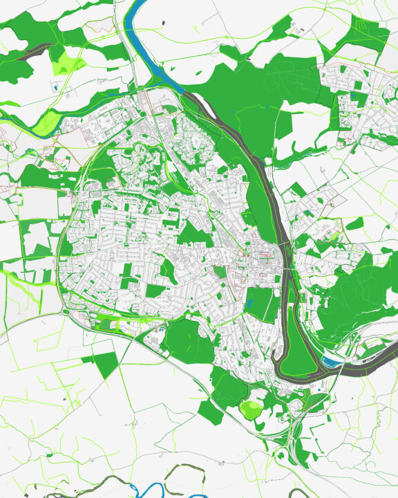
Sustainability starts with geography
Every community has a vision for a prosperous and vibrant future—one that achieves peace and prosperity for all. Use GIS technology to better understand and reduce local inequalities, implement plans that have the greatest impact, and ensure no one is left behind.
Take a geographic approach
Promoting sustainability requires a location-based understanding of the ways social, economic, and environmental factors interact in communities.
Use maps as a common language
Collect, view, and analyze data about a community with GIS. Create maps that communicate critical needs, priorities, and actions.
Create shared understanding
Connect organizations, ease collaboration, and drive collective action toward sustainable prosperity with dynamic maps and spatial analysis.


