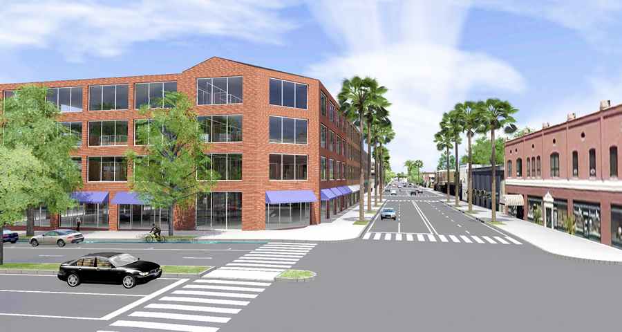
Geodesign techniques and technologies will drive smart planning in the future as community planners and developers seek innovative ways to build more livable, sustainable communities and solve vexing twenty-first-century land-use and development issues.
How to put smart planning into practice using geodesign will be the focus of the two-day Geodesign Summit in Redlands, California. The event will be held from January 25 to 26, 2017, at Esri headquarters, with technical workshops scheduled for January 24.
The purpose of the summit is to share best practices for implementing geodesign principles into planning workflows. Geodesign [PDF], in its broadest sense, combines the art of design with the science of geography. Using input from community members and other stakeholders, creative design techniques, rigorous methodologies, and spatial analysis and mapping, a geodesign practitioner can find the most suitable, environmentally friendly, and sustainable options for how to use space. That may be space for development, agriculture, wildlife conservation, transportation or flood-control systems, or marine protected areas.

More than 250 people are expected to attend the summit, including planners, community developers, government officials, architects, GIS professionals, engineers, project managers, and academics.
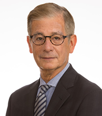
The keynote speaker will be James M. Drinan, executive director of the American Planning Association (APA) and its professional institute, the American Institute of Certified Planners (AICP). The title of his talk will be “Placemaking as Storytelling.”
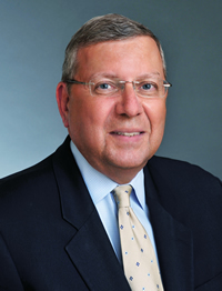
Drinan said there’s a cultural transformation in how people think and work due to technological change and the growing complexity of issues.
“Conveying facts in a manner that resonates is increasingly valuable,” he said. “The power of story transcends the basic presentation of information and enhances learning. What we are all really doing is working to build a shared vision and a map, if you will, to guide us on our journey to creating great places. Telling and listening to stories [are essential elements] of planning, designing, and building great places.”
Many Geodesign Summit speakers will talk about how they go about creating planning scenarios by gathering information on local issues from citizens and other stakeholders and experts in various fields. The planning scenarios or stories are then visualized, analyzed, and disseminated using geodesign technologies such as GIS, 3D GIS, story maps, and infographics.
The speakers include the following:
- Lesli Ellis, comprehensive planning manager for the City of Boulder, Colorado—Ellis will show the audience how her department uses 3D GIS technology to support scenario planning as the city updates the Boulder Valley Comprehensive Plan.
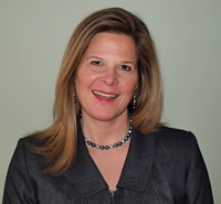
- Trisha Brush, a certified geographic information systems professional (GISP) from Planning and Development Services, Kenton County, Kentucky, and Emi Randall, a community and economic development planner for Kenton County—Brush and Randall will talk about how their department has integrated GIS into the planning process to analyze information and share the results with decision-makers. They will also talk about how the department uses Web GIS to analyze the urban tree canopy, assess walkability, and study sidewalk connectivity within the county. Their innovative use of Esri Story Maps has increased public awareness regarding important matters that impact the county.
- Candi Millar, AICP, the former planning and community development director for the City of Billings, Montana—Millar will talk about how Billings used geodesign principles and GeoPlanner for ArcGIS, in particular, to steer the city’s growth policy planning process.
- Jeff Herter, assistant director, division of Community Resilience and Regional Programs, New York Department of State, Office of Planning and Development (OPD)—Herter will talk about the development of the Geographic Information Gateway, a web portal that makes geographic data that the OPD uses accessible to local governments for planning and to the general public. The OPD’s award-winning work is helping to build resilient communities.
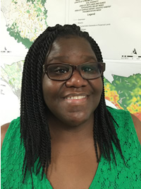
- Brenda L. Carter, GISP, the GIS manager for Richland County Planning and Development Services in South Carolina—Carter will give a presentation on an evaluation done in her county that showed how enhancements to green infrastructure would improve water and air quality, protect habitat, and better control storm-water runoff.
- Scott T. Edmondson, planner-economist for the San Francisco Planning Department—Edmondson will speak about the department’s efforts to use 3D GIS to examine future growth as it relates to housing capacity, transit, and public safety. He’ll talk about how automated workflows, interdepartmental cooperation, and statistical analytics all help to tease out possible solutions.
The event moderator will be Stephen Goldsmith, from Harvard University’s John F. Kennedy School of Government. He is the school’s Daniel Paul Professor of Government, director of the Innovations in Government program and director of Data-Smart City Solutions. Previously, he served as mayor of Indianapolis and as deputy mayor of New York City.
There’s still time to register for the Geodesign Summit. View the agenda for the event and sign up today.
Also, a Southern California Resilience Leadership Workshop will be held from January 23 to 24, 2017, at the Esri campus. The workshop, being jointly presented by the Sustainable Cities Institute at the National League of Cities and Esri, is geared to elected officials and city staff from local municipalities. Attendees will become familiar with tools and planning practices that can help communities become more resilient. And as an added benefit, they get to attend the Geodesign Summit.
For more information about the workshop, send an email to stateandlocalinfo@esri.com.

