Spring 2010
Spring 2010 |
|||||||
|
|
|||||||
New ArcLogistics Helps Reduce Fuel Costs and Carbon Emissions
Cloud Solution Brings Efficient Routing to Small Fleets |
|||
Highlights
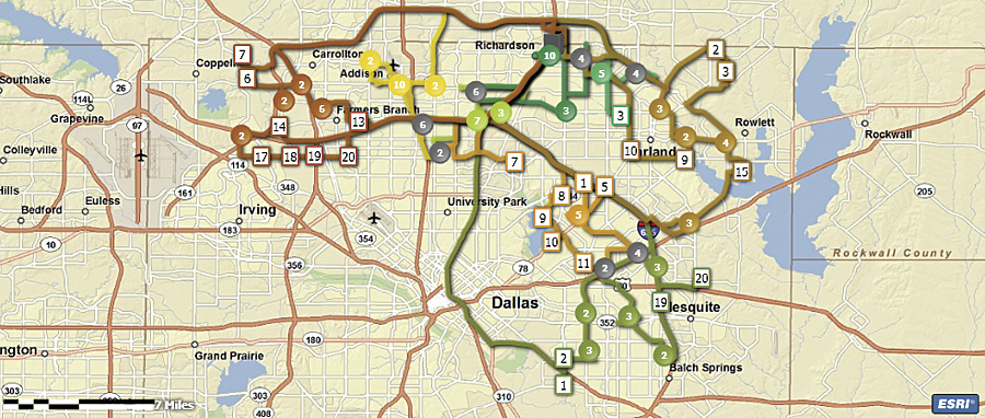
Esri's ArcLogistics, the GIS-based routing and scheduling solution known for helping organizations save 15 to 30 percent in fleet-related costs, is now available as a Software plus Service (S+S) solution that leverages ArcGIS Online. Vehicle fleet operators and managers can download the software and subscribe to the service based on the number of vehicles they wish to route.
ArcLogistics routing software helps organizations optimize routes and schedules based on their unique business operations, including vehicle capacities, specialties, truck restrictions, and customer time windows. The software's vehicle number-based subscription model makes ArcLogistics both affordable and accessible for small- to midsized fleets. The new S+S solution continues to build on the ArcLogistics desktop solution, developed in the late 1990s, whose users consistently reported significant operational cost savings. The original ArcLogistics is an effective operational tool for midsized to large fleets, as it was designed for non-GIS professionals to quickly create the best routes and schedules while taking into account their business rules and the accuracy of real and up-to-date street networks. When routes and schedules are created with ArcLogistics, small jurisdictions, as well as small businesses, will see measurable cost savings, resulting from reduced vehicle use and employee overtime, in addition to improved customer service. Like previous versions of ArcLogistics, the new S+S solution requires no GIS knowledge or skill. Its workflow-driven interface starts by importing or prompting the user to enter locations, vehicles, drivers/crews, and order information. Of course, behind the scenes, ArcLogistics is GIS based and can integrate easily with other Esri products, making it a valuable operational tool, as well as a data collection point for larger, enterprise GIS efforts and analysis. The solution goes well beyond finding the shortest path between a set of stops because it incorporates driver and vehicle costs, capacity, schedules, and street network attributes into a suggested route. Organizations that implement ArcLogistics typically see reductions in fleet-related expenses including fuel, maintenance, capital investment, driver overtime, and time spent planning routes. Service to the customer is improved with enhanced on-time performance from accurate and optimal routes. The current ArcLogistics release is for U.S. customers only, with international services coming soon. More InformationAnyone who operates a small- or medium-sized fleet of vehicles and is interested in ArcLogistics can download the software and try it for 30 days at no cost. To get the trial, visit www.esri.com/arclogistics. |