Spring 2010
Spring 2010 |
|||||||
|
|
|||||||
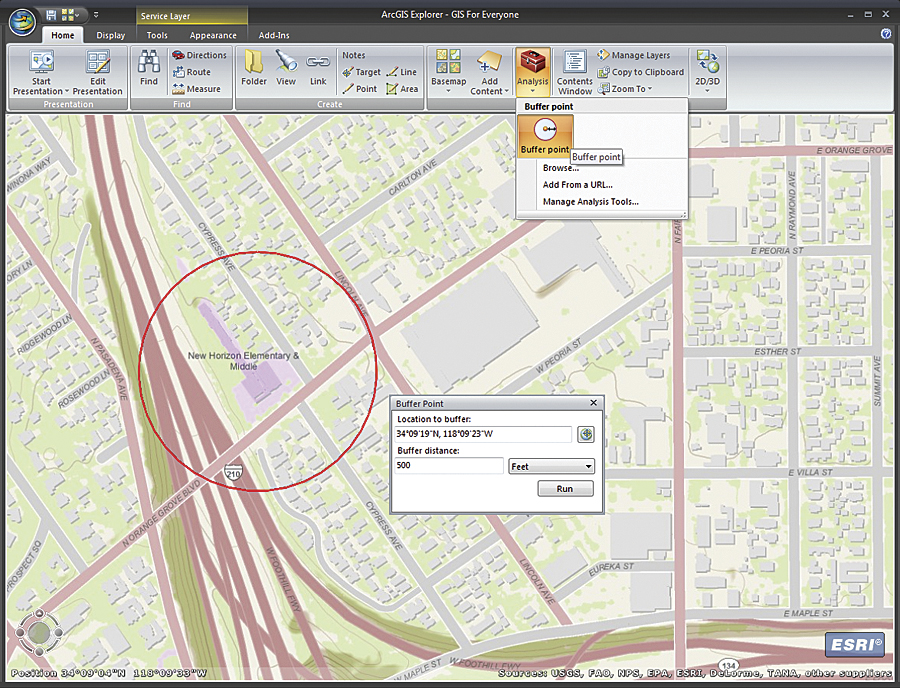
Easy Access to GIS with New Version of ArcGIS Explorer |
|||
The new version of the freely available ArcGIS Explorer builds on its highly visual and intuitive capabilities to explore, share, and present geographic information better than ever. The release features a new Analysis Gallery that allows direct connections to geoprocessing services. Like map services, just choose and use. Additionally, the Basemap Gallery has been updated to offer new ArcGIS Online imagery, as well as topographic and street maps. Finally, Bing Maps services (Aerial, Hybrid, and Road) are built right in ArcGIS Explorer. They are ready to use with no registration required. Authors of custom maps and presentations will find it easier to create products that are more effective and interactive. Basemap and Symbol Gallery management has been improved to make it easier to manage and use custom basemaps and symbols. The new release also offers support for enhanced layer package properties, improved feature labels, and the ability to fly along user-defined paths. More InformationTo find more information or download ArcGIS Explorer, visit www.esri.com/arcgisexplorer. |