Winter 2006/2007
Winter 2006/2007 |
|||||||
|
|
|||||||
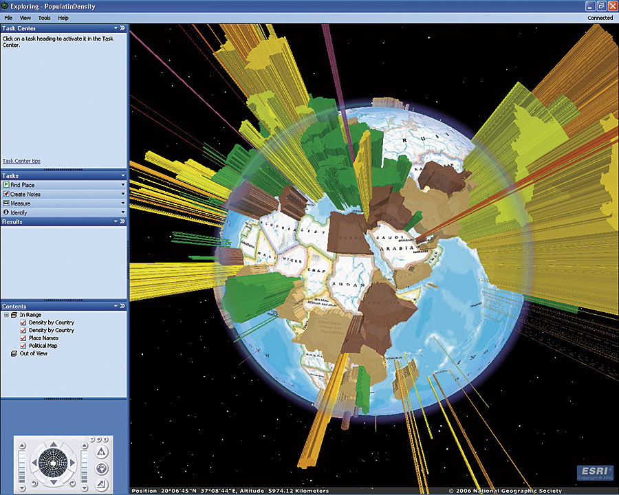
ArcGIS Explorer—New Tool to Access Mapping and Geoprocessing Services |
|||
|
In November 2006, Esri began rolling out ArcGIS Explorer. It was initially made available to ArcGIS Server users who were current on maintenance, followed by Esri Developer Network (EDN) subscribers and ArcGIS Desktop users. ArcGIS Explorer will soon be made available to the general public.
ArcGIS Explorer is a lightweight desktop client for ArcGIS Server, providing a way for users to publish ArcGIS Server capabilities within their organizations or to anyone on the Web. ArcGIS Explorer is freely distributable and does not require any other Esri software. With ArcGIS Explorer, users can connect to content published by Esri and others and fuse it with their own ArcGIS services or local data. They can create content or tasks for ArcGIS Explorer by authoring globes and tasks using ArcGIS Desktop, then publishing them to ArcGIS Explorer via ArcGIS Server. To get started with ArcGIS Explorer, users can access a collection of ArcGIS Online globes, including worldwide streets, terrain, boundaries and labels, political maps, physiography, and more. All of these are meant to form a foundation on which to publish content. To learn more about ArcGIS Online, visit www.esri.com/arcgisonline. Use ArcGIS Server to publish custom tasks for ArcGIS Explorer. Tasks may include advanced geoprocessing and GIS analytic capabilities, such as viewshed analysis, terrain profiling, and other ArcGIS Server functions, without the need for programming. These tasks can be saved in specific maps for specific users, or they can be delivered independently. Because tasks are centrally managed on the server, once an update is made to a task, it is automatically propagated to all users that are connected to it. ArcGIS Explorer can be customized to suit user preferences and needs by changing the startup globes and tasks that are available, changing the look and feel of the application, or authoring custom tasks. ArcGIS Explorer also includes a Software Developer Kit (SDK) that can be used to extend tasks or implement completely custom tasks that are driven by other Web services. To learn more about ArcGIS Explorer, visit www.esri.com/arcgisexplorer. You can also call Esri at 1-800-447-9778, call your Esri regional office, or contact your local reseller. Outside the United States, contact your local Esri distributor. |