Winter 2006/2007
Winter 2006/2007 |
|||||||
|
|
|||||||
Ready-to-Use Content for ArcGIS Users
ArcGIS Online Services Introduced |
|||||
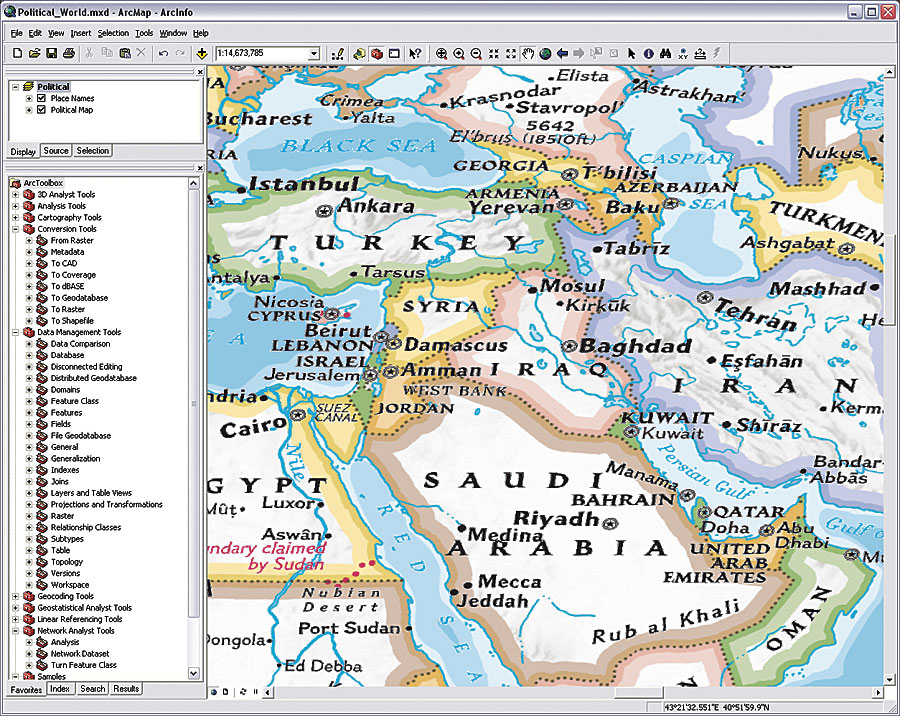
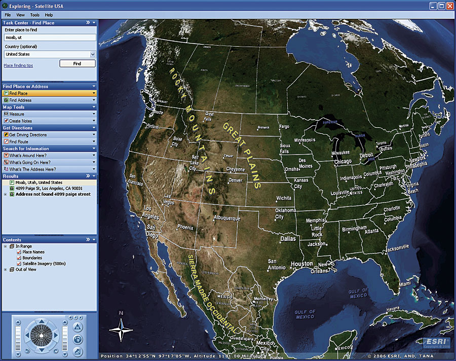
With the release of ArcGIS 9.2, Esri introduced ArcGIS Online, a family of Web-based products and services for ArcGIS users. The initial release of ArcGIS Online consists of ArcGIS Online Services, which provides a rich set of ready-to-use Web-based content and capabilities for ArcGIS users, including 2D maps, 3D globes, and individual layer services. These can be used directly in any ArcGIS Desktop application (ArcInfo, ArcEditor, and ArcView), including ArcGIS Explorer and ArcReader. The basemaps and layers available through ArcGIS Online Services are cartographically rendered to support multiscale display and are perfect for use as background or overlay layers for locally created and maintained datasets. This significantly enhances the ArcGIS user experience by providing users with foundation layers for their own content, to which they can add their own data, such as parcel data or building footprints, and put it in a global or local context. ArcGIS Online Services also provides functional capabilities. For example, when using the Find tool in ArcGIS Desktop while connected to the Internet, there are additional gazetteer and address locator services that are part of ArcGIS Online Services and available for use. When opening a globe in ArcGIS Explorer, different functional tasks associated with that content, such as Find Address or Get Driving Directions, are available. Subsequent releases of ArcGIS Online will include additional online content and capabilities.
In addition to preauthored map and globe documents and layers, ArcGIS users also have access to a number of templates and cookbooks. These provide information about the services that are available and also document how the services are authored and published and how users can consume and reuse these services. These time-saving templates can also serve as a model for users who want to publish their own services to their user community. ArcGIS users can connect to individual layers via ArcGIS Online Services and begin using this content along with their own to create specific maps for their needs. This includes adding data layers to the basemaps, displaying driving directions, or locating places and addresses. The initial content available via ArcGIS Online Services includes
Content provided through ArcGIS Online Services is offered to ArcGIS Desktop users at no additional cost and is updated periodically, eliminating the need to purchase, warehouse, and manage additional content. A subscription package for ArcGIS Server and ArcGIS Engine users who want to republish ArcGIS Online Services content to their organizations' internal users and/or customers will be available early in 2007. A variety of other content, including detailed aerial imagery, is also planned for release. More InformationFor more information on ArcGIS Online, visit www.esri.com/arcgisonline. To start using ArcGIS Online Services, visit arcgisonline.esri.com. |