Winter 2006/2007
Winter 2006/2007 |
|||||||
|
|
|||||||
Download Available for Linux, Solaris, and Windows Platforms
ArcReader 9.2 Includes Enhanced Map Viewing and Printing Capabilities |
|||
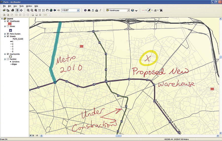
ArcReader is a free, easy-to-use mapping application that allows users to view, explore, and print maps and globes. Using ArcReader, anyone can view high-quality maps created using the ArcGIS Publisher extension. ArcReader 9.2 includes enhanced viewing of maps with ArcGIS Online, a new family of Web-based products and services for ArcGIS users. ArcGIS Online provides a series of ready-to-use online map, globe, and other GIS services. ArcReader 9.2 users can also print maps with customized map titles. New features include
Download TodayArcReader 9.2 is available as a free download for Linux, Solaris, and Windows platforms. For more information about ArcReader or to download, visit www.esri.com/arcreader. |