ArcUser
Spring 2012 Edition
Sketching the World's Futures
2012 GeoDesign Summit
By Monica Pratt, ArcUser Editor
This article as a PDF.
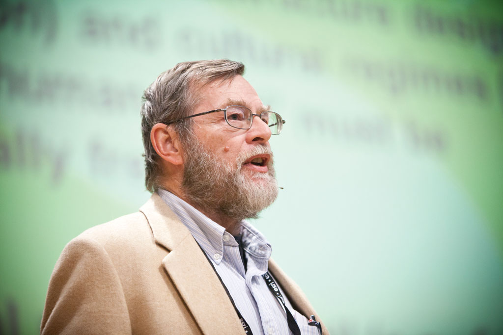
Braden Allenby
What Kind of World Do You Want?
During his Keynote Address, Braden Allenby challenged the audience at the 2012 GeoDesign Summit with that simple question.
Allenby's question went directly to the conference's theme, GeoDesign: Creating Our Future. The event, held January 5–6 at Esri headquarters in Redlands, California, drew 160 attendees from diverse fields—landscape architects, architects, researchers, urban planners, environmental planners, civil engineers, developers, and academics—who share a common interest in creating a better world through geodesign. Allenby, along with other leaders in this emerging field, shared their opinions and insights during two intense days packed with presentations and discussions.
The conference agenda covered not only geodesign concepts and technology requirements but also implementation considerations and curriculum development. Now in its third year, the event's focus has evolved from defining geodesign as a field of study to applying geodesign concepts and methods to projects and identifying the methods, tools, and workflows that can enable more widespread use of geodesign.
An Evolutionary Step for Humans
During the Plenary Session, Esri president Jack Dangermond noted that geodesign is going to be regarded as "an evolutionary step for humans. It's going to be 'the ah, finally we connected the dots moment' when we realize the consequences of our human actions."
Geodesign combines the value-driven design process with science-based geospatial technologies. It is an old concept that has been empowered by recent technological advances. Digitized information and the web have enabled a high level of collaboration. As Thomas Fisher, dean of the College of Design at the University of Minnesota, noted during the conference, "Science is good at answers, but it is not so good at values. Geodesign closes the fact-value gap."
Two relatively recent developments in GIS technology have greatly enabled geodesign. The first is the creation of new tools that provide immediate quantitative feedback, which makes rapid, iterative, meaningful designs possible. By combining geographic analysis with the design process, the impacts of designs can be vetted using data describing physical and social factors with the goal of incorporating both values and facts in a holistic decision-making process.
 The second development is the advent of intelligent web maps. Dangermond sees these geoinformation products as the foundation for how information will be delivered. They are a new platform for designers to sketch, share, and make results available on many devices in a timely manner. However, Dangermond noted that the effectiveness of many web maps is hampered by their poor design. To be effective tools for geodesign, these maps must be the product of good design as well as good technology.
Dangermond stressed that none of these technological advances will matter if geodesign isn't applied to real projects. "Doing real projects…isn't that what geodesign is all about?" said Dangermond. "All this knowledge needs to be linked with the design process and tools and methods that help create sustainable designs that are implemented." The bulk of the conference was devoted to demonstrating just that—how geodesign can and is being applied to challenging issues such as global climate change and preserving biodiversity.
Real Projects
The next few hours were devoted to presentations about real projects that are using geodesign. Douglas Olson, president of O2 Planning + Design, described how geodesign techniques have been applied to urban watershed management in Alberta, Canada.
Nine Lightning Talks followed. The eight-minute presentations gave the audience snapshots of geodesign applications in conservation, land-use planning, and city modeling and remodeling challenges.
Abby Jones, a recent graduate of Cal Poly Pomona, provided one of these snapshots. She gave an overview of Red Fields to Green Fields—Los Angeles. This was a final project in the master of landscape architecture program completed by her student team. Its goal was to "jump-start LA's economy" by transforming vacant, foreclosed, and underutilized properties into parks, open space, and areas for community gardens. The project identified capable and suitable areas in three communities and created site designs incorporating recreation, community, and ecological benefits. These designs underscored a key feature of geodesign—the quantification of design impacts.
Following lunch, a dozen paper presentations addressing geodesign in relation to academic programs, applications, software development, and future directions for geodesign were given at four locations across the Esri campus.
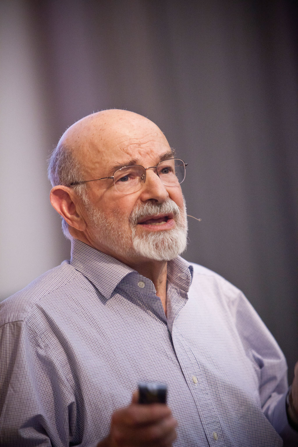
Carl Steinitz
"How the Hell Do We Design?"
Later in the afternoon, attendees reassembled in the main auditorium to hear Carl Steinitz, the Alexander and Victoria Wiley Professor of Landscape Architecture and Planning Emeritus, Graduate School of Design, Harvard University, and a leader in the field of geodesign.
Steinitz opened his presentation with this question: "What if it was more true than false that we don't know what we are doing?" Over decades of project work in this area, he has come to believe that, owing to the "uniqueness among all projects," a certain amount of guesswork is inherent in the process. "Somehow or other, matching from thousands of methods to relatively efficiently attack any one problem is not a science, it's not an art, it's somewhere in between. It's not fixed, and the amount of guesswork is really high. We (mostly) don't know what we are doing."
He posited that either lots of experience or lots of experimentation was necessary to improve this situation. One such experiment was carried out right in Redlands, California. It grew directly out of the first GeoDesign Summit. At that event, Steinitz had suggested universities work together on practical experiments. When no one responded to that suggestion, Dangermond asked, "Why don't we try it in Redlands?"
The result was the Redlands Workshop. The four-and-a-half-day event, cosponsored by the University of Redlands, the City of Redlands, and Esri and involving residents, was a practical exercise in geodesign. Participants were assigned to one of nine teams. Each team used one of the strategies for proposing change.
This year, Steinitz reported back to the group what workshop participants did and their "very, very tentative conclusions." He characterized the workshop as an interesting first experiment that proved nothing but was an important step toward geodesign. However, he noted that the fundamental question remains: "How the hell do we design?"
Taking Responsibility
Following Steinitz's discussion of how we design, the focus shifted to why geodesign is critical, the subject of Allenby's Keynote Address, Managing a Terraformed Planet: Earth Systems Engineering. An environmental scientist, environmental attorney, professor of civil and environmental engineering, and professor of law at Arizona State University, Allenby noted that global is a scale often omitted from geodesign discussions.
However, Allenby emphasized, we are living in an age of human impact on global systems and a world that is already being designed whether we want to admit it or not. "We are avoiding responsibility for a design that we have been implementing for at least two hundred years," he asserted. Consequently, the real question is not Should we be doing geodesign but Who gets to do it, and how should it be done?
When considering what we do about this situation, he asserted that a lot depends on how we define things like global climate change. If it is defined as a problem, then it has solutions. But if it is defined as a condition, "a condition of seven billion people that is coupled to changes in virtually every other earth system," then all the simple solutions fail. "The future is a whole lot more unpredictable than we think it is," said Allenby. "Complexity is the world you already have and where thinking about GIS becomes very interesting."
 Geodesign can become a powerful tool for improving the world's existing design, but it will require a better understanding of this anthropogenic planet, acknowledgment of the challenges currently faced, agreement on design objectives, and determination of real design constraints.
Allenby made a compelling argument for the necessity of geodesign. "The way we think about the world is profoundly broken, and it's broken just at the time we need to be using all the imagination and all the skill that we have to try to break out of the obsolete barriers to thought that inhabit every one of us."
Geodesign in the Real World
The second day of the conference was devoted to presentations on innovative applications of geodesign principles by Paul Zwick of the University of Florida; Chris Drew of Smith + Gordon Gill Architecture; and Keith Besserud of Skidmore, Owings & Merrill as well as another round of Lightning Talks. These talks addressed the realities of dealing with multiple special interest groups and the challenges of communicating contested ideas, obtaining funding, and designing with existing systems.
Looking at the Future
The last two agenda items on the second day both addressed where the discipline and the practice of geodesign are headed. In his introduction to GeoDesign Education: Where We Are and Where We Are Going, a panel discussion by academic leaders in the field, Fisher reported about how geodesign is becoming pervasive at the University of Minnesota. It is being used in education, agriculture, and other departments. Geodesign is driving the challenge-oriented restructuring of education in which students major in a discipline and minor in a challenge such as biodiversity.
It is also changing the way universities are being run. The U-Spatial project at the University of Minnesota, the subject of Fisher's Lightning Talk in 2011, has had a profound effect on the university. U-Spatial networks data, equipment, and expertise across the university's three campuses to benefit all researchers working with spatial science and systems.
In the final presentation, Stephen Ervin of Harvard Graduate School of Design shared his provocative, wide-ranging, and often entertaining musings in GeoDesign Futures. He presented the audience with possible, probable, preferable, and wildcard futures.
An Interesting Community
While most summit attendees were from North America, geodesign is drawing attention across the globe. Five staff members from the multidisciplinary urban regional planning, architectural, and engineering consulting firm Khatib & Alami (K&A) traveled from Lebanon to attend the summit. K&A, which has offered GIS services since 1988, found the summit a valuable opportunity to observe how colleagues and researchers in various disciplines are addressing challenging issues or revising preconceived design or planning concepts and processes. The K&A team believes flexible strategies are needed to address urgent social, economic, and environmental issues such as desertification, social disparities, informal settlements, and diminishing water resources.
The concept—and more importantly the practice—of geodesign is gaining traction. The Saudi Planning and Geodesign Workshops 2011 concluded scarcely more than a month before this year's GeoDesign Summit. Books, newsletters, and articles on the subject have been published. (See the Additional Resources section.) Geodesign has been incorporated into university curricula, and several institutions have started master's programs in geodesign.
In summarizing the 2012 summit, Dangermond noted that "an interesting community is starting to emerge of friends and colleagues around the world that know something about geodesign." The event was capped with an open discussion of the requirements for pushing geodesign forward and a commitment to return to Redlands next year for the 2013 GeoDesign Summit on January 24–25.
Additional Resources
To learn more about this developing field, visit Technology Topics: Geodesign. There you can download the e-book Changing Geography by Design: Selected Readings in GeoDesign, watch Dangermond's talk on geodesign at TED2010, and peruse other resources. Locate ArcGIS tools for geodesign at Arcgis.com by searching on Geodesign with ArcGIS. Also see "On Scale and Complexity and the Need for Spatial Analysis" by Carl Steinitz in the spring 2011 issue of ArcNews.