July - September 2005
July - September 2005 |
||||||||
|
|
||||||||
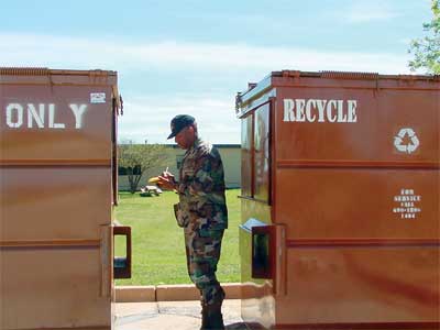
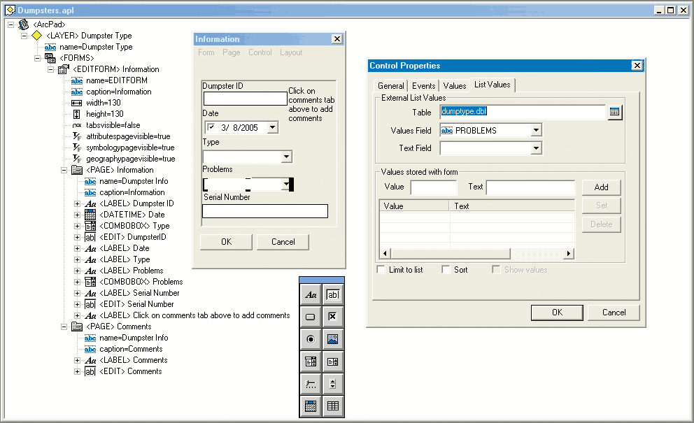
Tracking DumpstersAir Force Civil Engineering requires that trash and recycle dumpsters be tracked and logged for contract maintenance purposes. Surveys are performed on an annual basis to maintain records of dumpster locations and problems that need attention. The surveys were traditionally completed by driving around the base and recording data with a pencil and notepad. Performing a handwritten inventory rather than using digital survey methods raised some issues: exact locations were hard to describe, the handwritten inventory notes had to be combined and interpreted, and unintentionally redundant data collection and other factors introduced error and made data collection inefficient.
One of the main problems with the manual survey was the amount of time required to collect the data. Because several dumpsters would have been relocated or removed during the 20-day data collection process, the survey was out of date even before it was completed. A standardized method that was more efficient and comprehensive was needed to track and inventory trash dumpsters on the base's 6,000 acres. Assessing RequirementsThe Environmental Flight Chief approached the Dyess GeoBase office with a request to develop a better process to track and maintain the dumpster inventory at the base. [The Air Force GeoBase program supports use of geospatial information technologies at air force installations as corporate knowledge management resources.] The GeoBase office met with the entire environmental team and discussed the problems and the shortcomings of the manual data collection/maintenance system. Out of that meeting came the following requirements list.
Continued on page 2 |