Contribute to the Community Maps Program
By Maria Lomoro, Esri Product Marketing
 Detailed street data for Hong Kong. |
Does your organization own detailed street map data, high-resolution imagery, or building footprints that can be shared with others?
The popular Community Maps Program, a new Esri initiative, lets organizations contribute their geographic data, including imagery, to ArcGIS online basemaps that are then shared with the GIS user community.
Anyone can access the community maps at ArcGIS.com and use them for GIS projects, including Web applications and mashups. These maps can also be accessed through ArcGIS for iOS, ArcPad 10, ArcGIS Desktop 10, and Esri's free and open Web mapping APIs.
User organizations that contribute geographic data to the Community Maps program will reap several benefits. The costs associated with distributing their own data and making it widely available will be eliminated. The program also decreases the costs associated with setting up and maintaining data by reducing labor costs and need for server capacity.
Most importantly, the program provides a mechanism for organizations to make their high-quality, authoritative content available globally in a manner that gives others the ability to access it easily.
Esri publishes and hosts the community maps to give GIS users the best available data from multiple governmental and commercial data sources. The goal is to continually improve these community maps with more detailed data.
The global online basemaps are built using uniform cartography and authoritative data sources and provide the high level of detail and coverage needed for most GIS Web mapping projects.
"These fast maps with Esri data and authoritative user-generated content [UGC] reduce the cost of making data widely available and offer a reliable way to access critical information when emergencies or disasters strike," says Jack Dangermond, Esri president. "The Community Maps Program also establishes a valuable resource for governments of all sizes, citizens, and businesses that is available all day, every day."
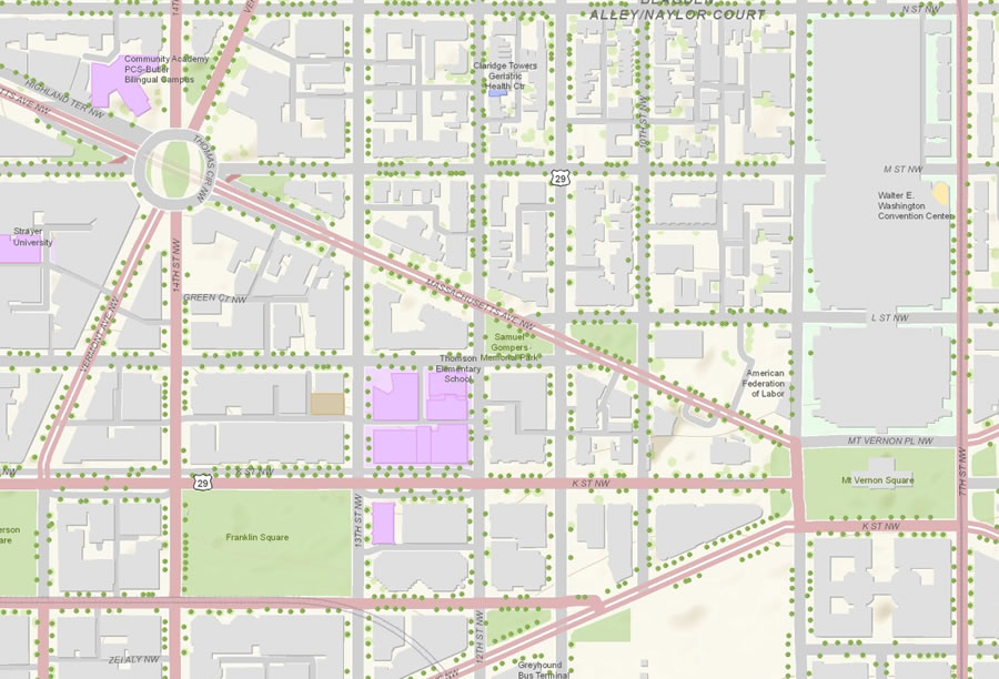 Data provided by the District of Columbia Geographic Information System (DCGIS) for the World Topographic Map. |
Many organizations around the world are already contributing their data, which is then integrated into online community maps such as World Topographic Map, World Street Map, and World Imagery.
What type of data is needed? Detailed basemap data for cities or regions at 1:50,000 scale; detailed street map data at 1:50,000 scale or larger; and high-resolution imagery that's 1 meter or better, collected within the past three years. Any data provided through the program is checked to ensure that it improves on the existing data in the community map.
While Esri will request permission to publish the data as part of the online community map, it will not take ownership. Accepted contributions are integrated into one of the existing community basemaps and published during the update cycle, typically twice a year.
Organizations that need help preparing data so it can be published online can perform two important steps: author, then cache the map. To help with authoring the map, Esri has created a number of downloadable map templates that ensure uniform, high-quality cartography. (Read the ArcUser article about these templates called Superior Results in a Fraction of the Time.
These templates also include map documents, sample data, and symbol style files. Once the map has been authored, a map cache is generated using the Bing Maps/Google Maps tiling scheme, or ArcGIS Server can be used to create a map cache using the built-in tiling scheme. Alternatively, Esri can create the map cache based on the authored map provided by the organization. The map cache is then blended into the community map and published.
Participation is simple. User organizations that are interested in contributing their data to the Community Maps Program just need to fill out a participation form and provide some information about their data, such as coverage area, resolution or scale, and a brief description. Once Esri receives the data, it will review the data to confirm the suitability and notify the user organization.
Learn more about the program, fill out the participation form, and download map templates at www.esri.com/communitymaps.